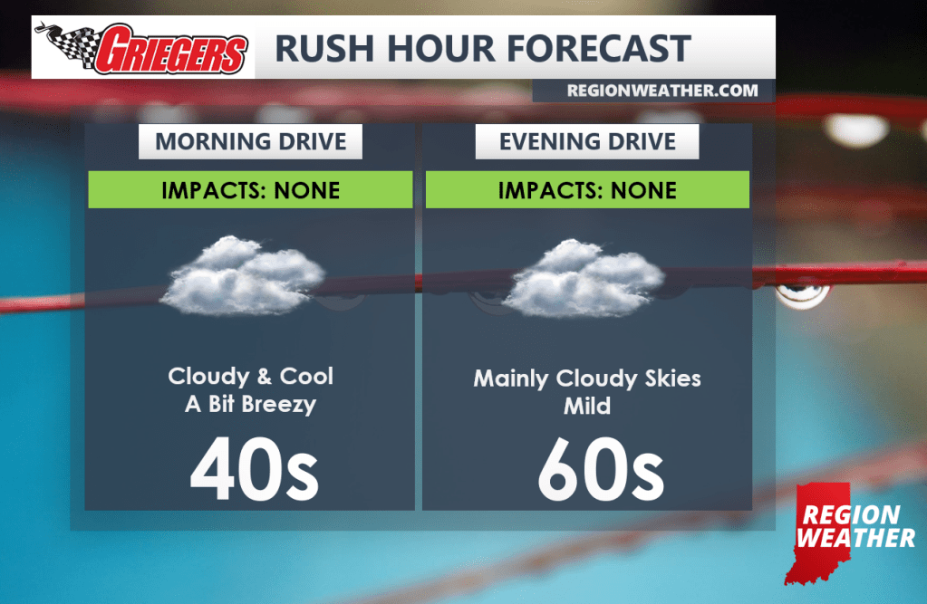
Happy Friday! You made it! We’ll have rain on radar JUST to our east today as last night’s frontal boundary has temporarily stalled. As a result, we’ll just enjoy cloud cover and temps that aren’t too shabby as we return to the low to mid 60s this afternoon.
The cooler air moves in tonight and stays for the weekend as the swirling low pressure portion of this storm rotates in. Scattered showers will be likely Saturday with leftover lake effect showers Sunday with highs both days in the 40s.