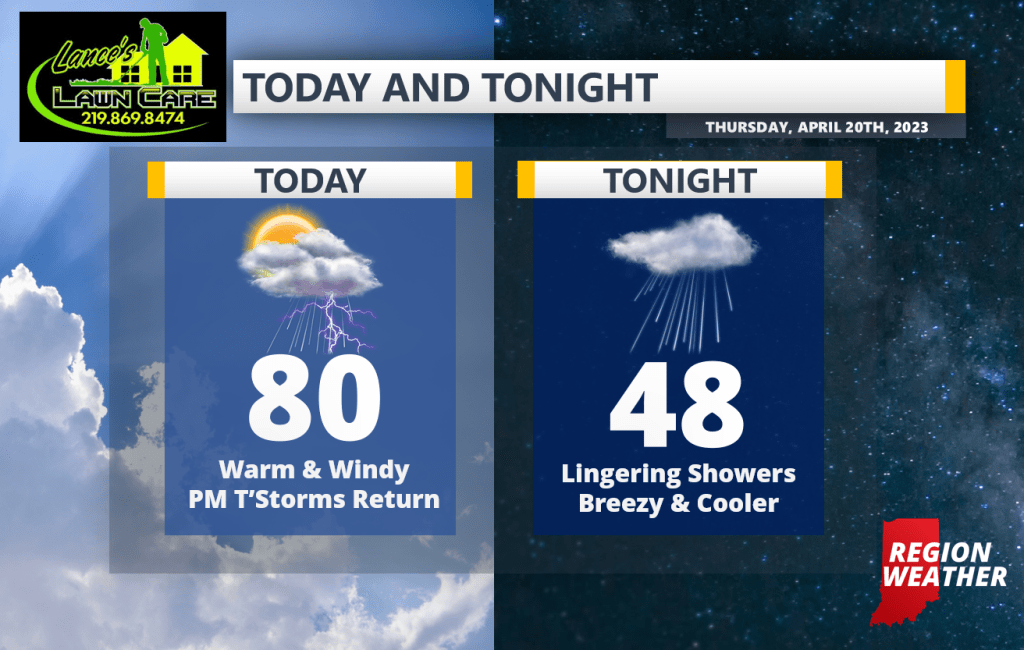
Good Thursday morning everyone! Get ready for a summery day around the Region with a stout southwest wind helping to push our temps towards 80. Today’s storm threat hinges on whether or not we break into some sunshine and heat things up–if we do, we have a severe threat this afternoon and evening. If we stay on the cloudier side, our severe threat will be more limited. Either way we’re looking at more rain with the cold front later today into tonight with cooler temps moving in for our Friday and COLDER temps moving in for the weekend. We’ll have updates as needed throughout the day!