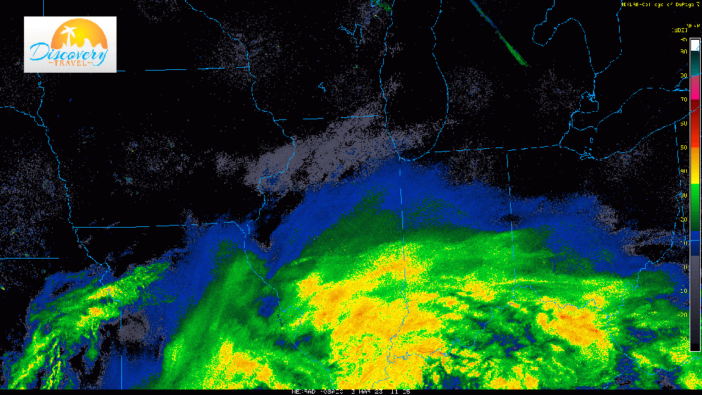
The moisture is on its way with widespread heavy rain now spreading north off of strong to severe storms down in the Tennessee Valley. This band of rain will continue its northward progression over the next few hours while the area of low pressure itself heads towards Indianapolis. Still expecting RAIN for everyone initially, but wet snow will eventually mix in with a complete changeover expected for the majority of the Region this afternoon. Combined with strong winds (over 45mph), these heavy wet snowfall rates could really ramp up in a hurry with conditions going downhill in a matter of an hour this afternoon. The changeover won’t be equal for all locations–some will changeover to snow first while others remain rain for longer. More updates to come.