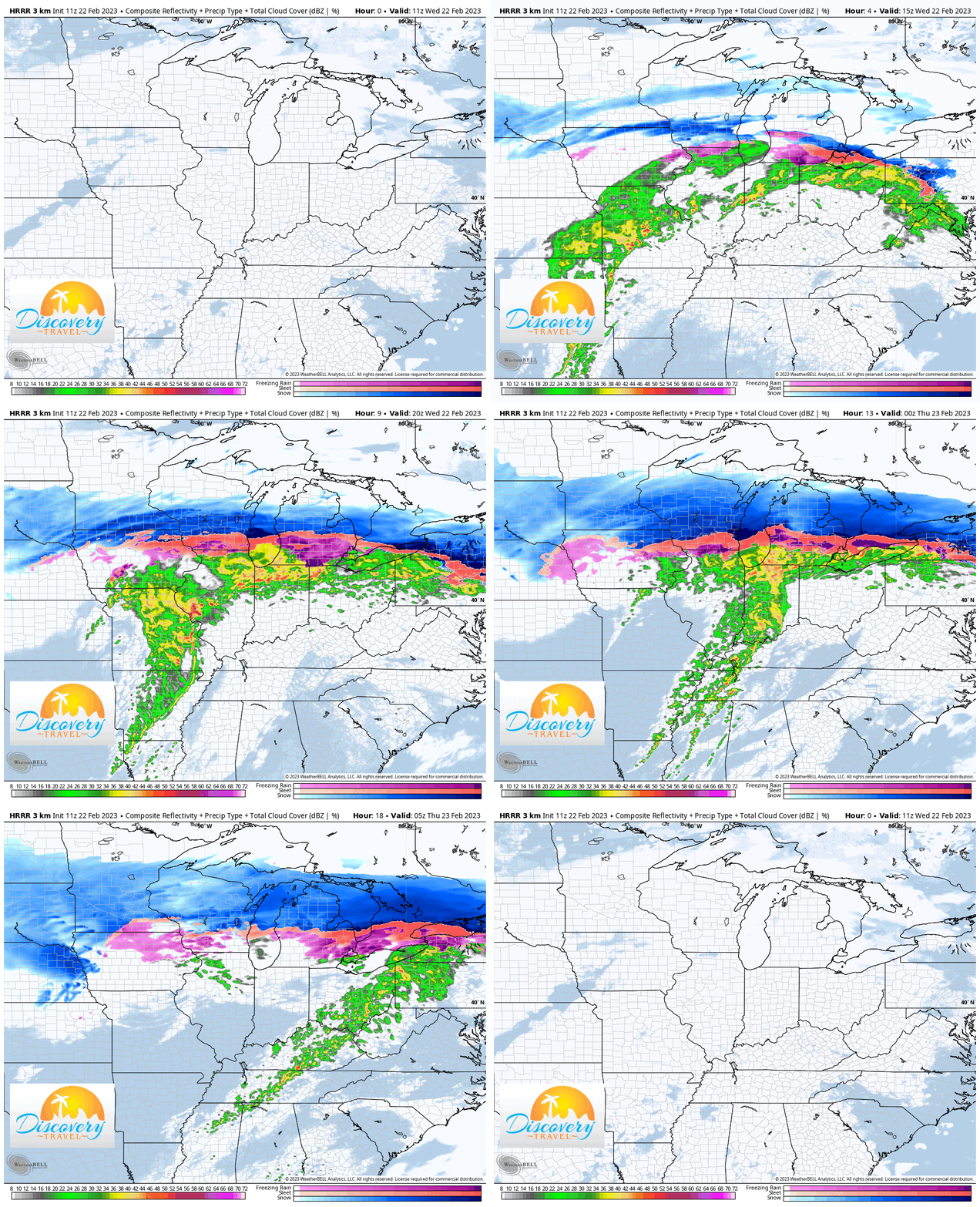
Waves of rainfall will move through the Region today and that rain will be heavy at times with steady or slowly rising temps in the 30s. We have a few pockets of freezing rain this morning as overnight temps dipped at or just below freezing, so be careful on any untreated surfaces as you’re out the door this morning.
By this afternoon we turn our attention to a potential line of heavy rain and thunderstorms (yay February!). Some of these storms could have gusty winds this afternoon–but temps will still be in the 30s with much warmer, spring-like air JUST south of us.
Rainfall totals will likely fall in the 1-2 inch range through this evening so minor flooding is possible. Rain will begin to clear out later this evening into tonight with temps rising to near 50 by Thursday morning. From there temps will fall back into the 30s during the day Thursday with gusty winds.
If travel plans take you anywhere north of here into Michigan or towards Wisconsin, keep in mind this all turns to ice for them. Further north it becomes heavy snow as this large storm system really packs a punch to a large stretch of communities to our north from New York to the Dakotas!

