
An area of low pressure will move in from the southwest tonight into Thursday morning and will be strengthening as it moves through the Region. We’ll see winds really ramp up as a result of this strengthening low, but this system will also bring a round of heavy, soaking rainfall and a temp drop on the back side of it. Let’s dive into what we’re expecting…
BRIEFLY WARMER TEMPS
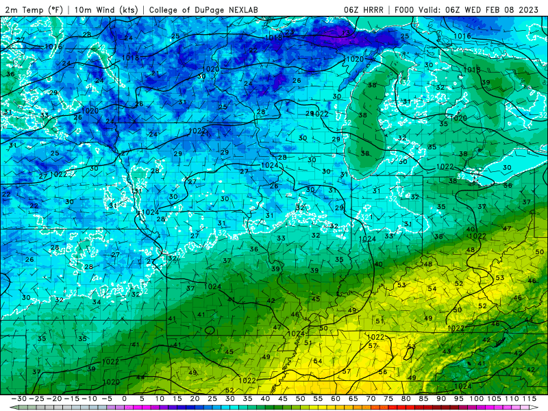
On the leading edge of this storm system there will be a sliver of warmer air that wraps into northwest Indiana tomorrow morning. Temps will likely reach into the 50s, but as the low moves by, temps will drop back into the 30s on gusty afternoon winds–so don’t be deceived tomorrow morning as you head out the door!
STRONG GUSTY WINDS
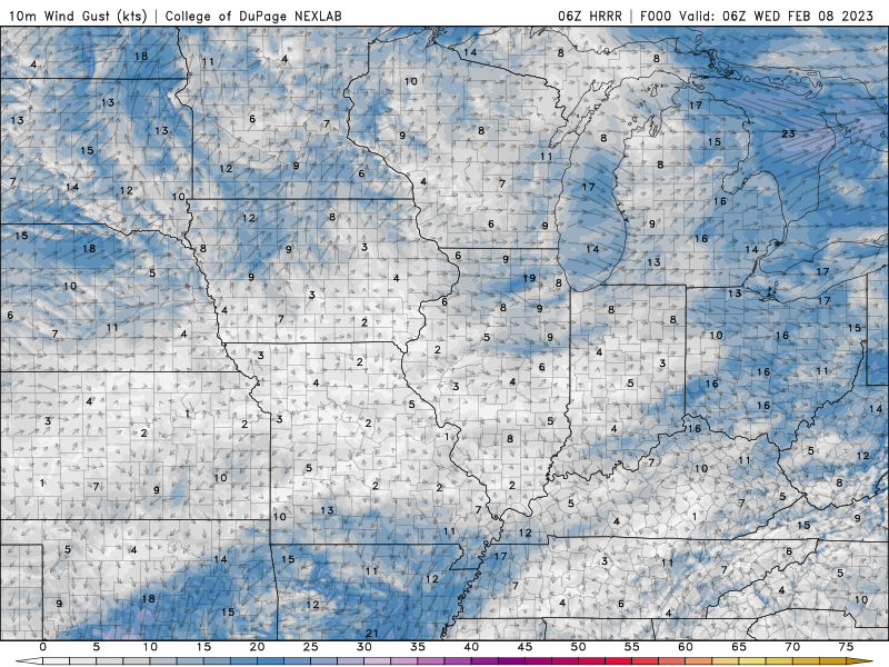
As mentioned, winds will become quite strong as this low really gets going. Winds could gust over 50 mph at times tomorrow morning with another round of stronger winds in the afternoon as the cold air rushes in. What’s interesting to note is that the low pressure will head right over northwest Indiana–almost like the eye of the hurricane, we could see winds really lighten up as the low moves overhead before they turn gusty with the colder air on the back side of the system.
HEAVY RAIN TONIGHT TO SOME SNOW TOMORROW NIGHT
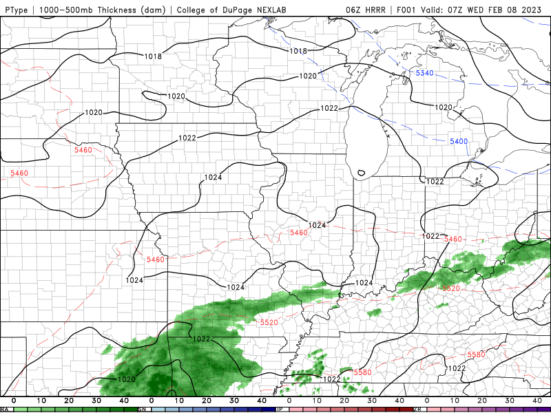
As this low grabs a good dose of Gulf of Mexico moisture and brings it north, we’ll encounter periods of heavy rain tonight into Thursday. We’ll likely turn more showery in nature tomorrow with the bulk of the rain with the initial portion of the storm. Rainfall amounts of half an inch to an inch and a quarter can be expected–again, most of that falling tonight!
ACCUMULATING SNOW TO OUR NORTH
As cold air wraps in later tomorrow into tomorrow night, we’ll turn any rain over to a mix of raiin and snow and then eventually snow. We’re not looking at much in terms of accumulations, but just north of us will be a nice band of heavy snow that falls in a matter of hours! If travel plans Thursday or Friday take you just north of Chicago into southern Wisconsin, you’re likely to encounter some snowy travel as heavy wet snow is expected there!
Overall this system will be a wind and a rainmaker as we mentioned back on Sunday during our weekly Region Weather LIVE broadcast. We’ll have another live broadcast tonight over on our Facebook page to answer any questions and bring you the latest as this storm system approaches!
