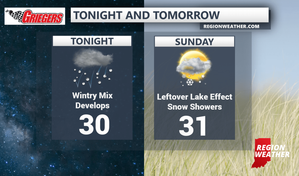
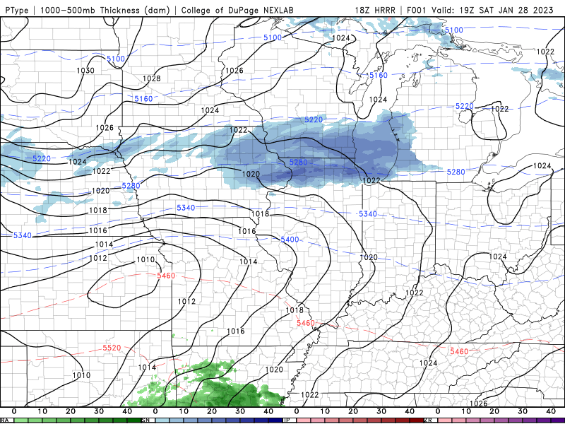
Our next storm system moves in this evening with the threat for a wintry mix of freezing rain, sleet, and some snow–not a good combo. This system has been producing heavy snow just to our north as we talked about in our last LIVE update–but we’re not expecting much snow out of this.
The bulk of the precip begins to push through this evening and here’s the problem: Our temps are below freezing so all of our surfaces are frozen. Warmer air is pushing in aloft (up above us) so we’re expecting a period of freezing rain, aka rain that falls, hits our frozen surfaces and immediately turns to ice. Untreated roads, sidewalks, decks, etc will likely become slippery with a coating of ice this evening through tonight. While widespread problems aren’t expected, it doesn’t take much. So keep in mind, if it’s raining when you’re out driving later–that’s freezing rain. Take it slow!
Behind this system we get some snow, but nothing much in terms of accumulation. Temps will hold steady right near 30 for our Sunday as any lake effect snow showers come to an end.