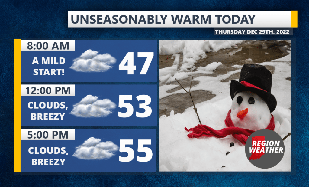
We’re out ahead of a frontal boundary this morning and with the south winds we’ll experience the warmest day since late November as highs surge into the mid and upper 50s. Most of the day will be cloudy with a few spotty showers possible later today. The front passes by tonight with cooler air behind it, but not cold. Temps will float in the low 40s Friday before scaling back into the 30s by late afternoon. Not a lot of rain with this system, but passing showers are possible through Friday night as this front hangs out for a bit. Enjoy the warmth!