
Not that we’re looking for it, but as we approach the holidays, it’s not the worst thing to have some snow on the ground. So where is it?
It’s out west. It’s been one heck of Fall (and late Fall) for them with multiple storm system bringing feet of snow to the mountains and much needed rain to drought-stricken areas.
As we talked about in our Sunday evening Region Weather LIVE broadcast, there are signs that this snow and cold come east in the week leading up to Christmas. I mean, it has to at some point right? Take a look at the upper air pattern–anything in yellow and green typically translates as cold enough for snow here at the surface:
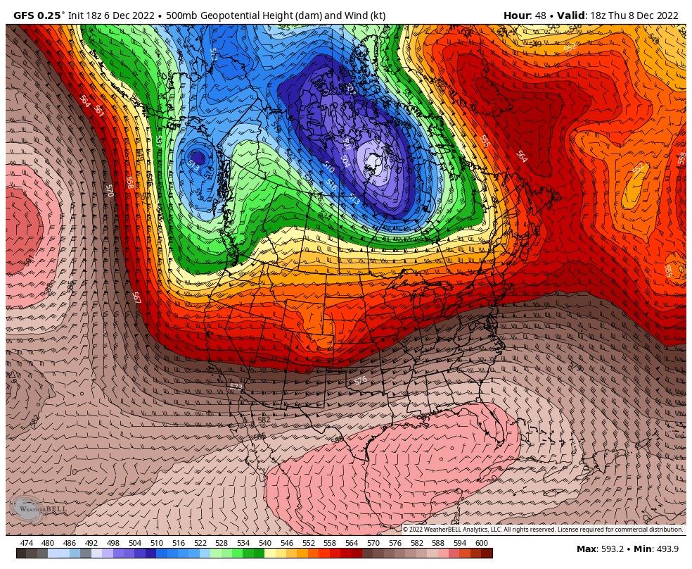
This pattern change comes next week with a strong cold front–likely with strong winds and a sharp temp drop. The models will vary on strength and timing of this system, but guidance agrees in its evolution.
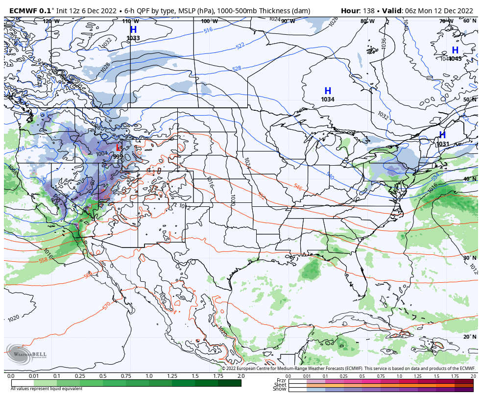
It’s too early to tell if we’ll get snow out of this, but odds would favor it. The next question would be how long this cold sticks around–some model guidance hints at a quick rebound while others keep us locked in. Either way, the colder air is the first step into turning our ground a bit more “festive”. We’ll keep you updated as always!
