
THE SETUP: A trough of low pressure will swing through the Region later this morning and will bring widespread snow showers but more importantly, it will drag the band of heavier lake effect snow off the lake and into the Region. Brief periods of localized heavy snow are possible with a quick coating to an inch or two possible in a short period of time. Keep in mind this will be lake effect snow and very localized, so not everyone will see the heavy snow.
TIMING: As we mentioned in last night’s Region Weather LIVE broadcast, the timeframe would be midday today through the evening for that lake effect band to affect mainly areas of Porter and La Porte County before winds shift a bit overnight. We’re not expecting much in terms of lake effect activity locally tomorrow.
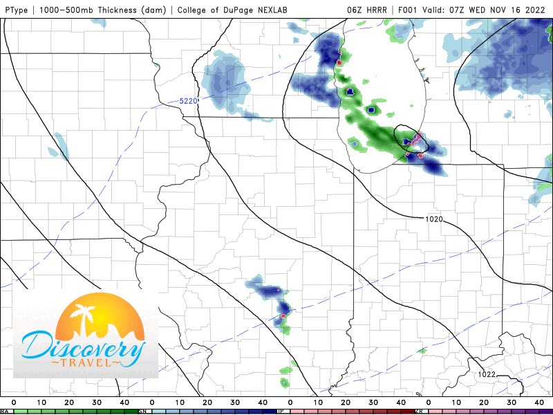
HOW MUCH: I think we all see a coating to an inch today as the trough moves through with general snow shower activity. That lake effect band will produce the highest totals where it sets up–for now Porter and La Porte Counties look to be the recipients of that. Several inches are possible in Porter County (especially the eastern and northeastern portion closest to the La Porte County line. La Porte County itself should end up the “winner” in all of this with over a half foot of snow possible through tomorrow morning. Outside of the lake snows, this won’t be a big deal for anyone other than a reminder it’s mid November around here!

