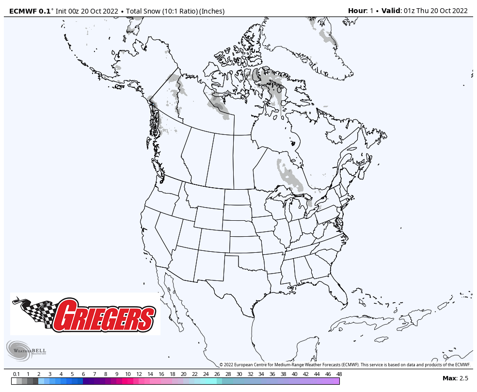
The big picture weather pattern is in the process of changing across the United States! While we’ve been socked into a northwest flow of colder than average temps, the western US hasn’t had anything that resembles Fall yet. By this weekend it all changes with a large trough of colder than average air expected out west while we settle under a large ridge of warming temps and a steady flow straight out of the Gulf of Mexico! Lots of rain and snow will fall out west while we enjoy sunshine and highs bouncing into the 60s Friday and well into the 70s this weekend! Take a look at the projected snowfall accumulation the next 10 days: