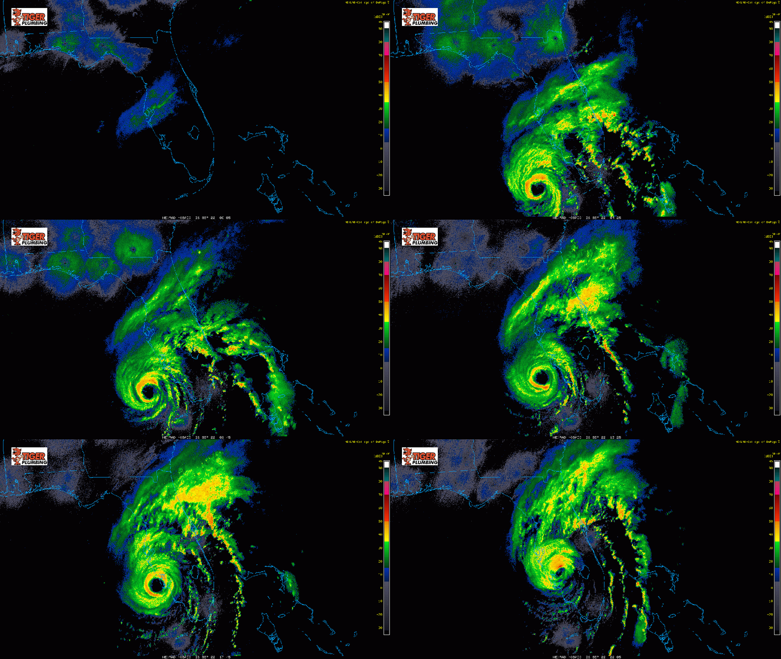
HURRICANE IAN made landfall at 3:05pm ET near Cayo Costa, FL as a powerful Category 4 hurricane with winds at 150mph and an impressively low pressure of 940mb. This system is a beast with storm surge (the rise of water pushing off the Gulf of Mexico) on the order of 6 to as much as 16 feet! As we go throughout the next 24 hours, winds will weaken, but the flood threat will remain with 8-18 inches of rain expected all the way up towards the Jacksonville area. Ian will eventually make it back over the Atlantic Ocean before curving back into the South Carolina coast–likely as a tropical storm later this week. There’s been a lot of hype with this storm and it certainly deserves it as it’s a destructive, high impact hurricane and will continue to hit Florida hard through Wednesday.

