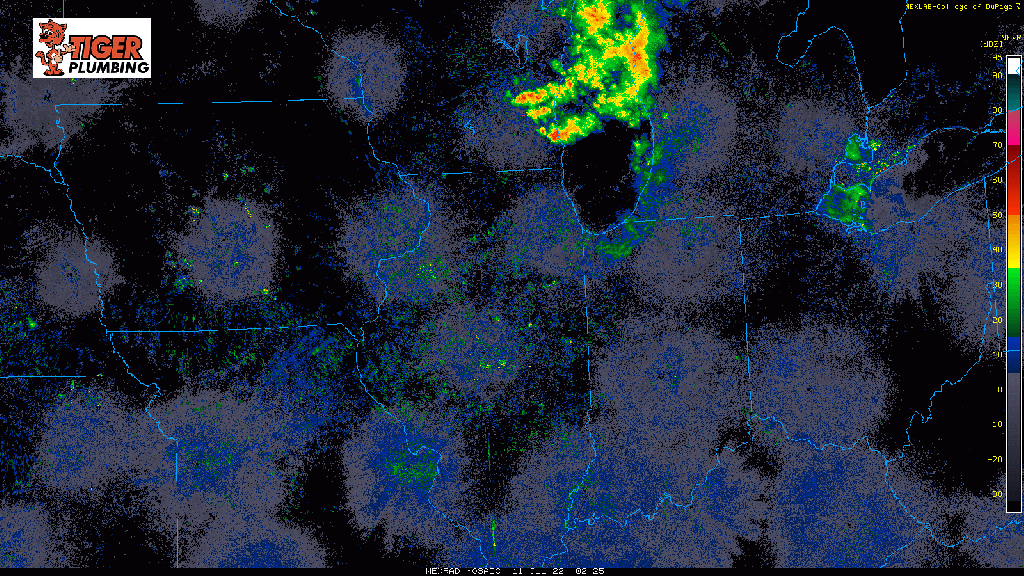
Good morning NWI! We’re looking at 2 rounds of potential severe weather today–the first arrives this morning with a complex of storms that produced damage in Iowa last night. This cluster of storms will continue to roll east and will likely move into the Region after 10am CT. The main threat would be damaging winds and heavy rain if this holds together.
Our second round will be possible later this afternoon as a cold front triggers more storms that develop right over or around the Region. Damaging winds and hail are the main threats with these, but an isolated tornado or two cannot be ruled out. Timing for this second round would be after 5pm CT. As mentioned in our last Region Weather LIVE, we’re on vacation in the mountains this week, but will try and provide any crucial updates as needed throughout the day.
Take a look at our morning round (as of 7:30am) as it continues to approach from the west: