
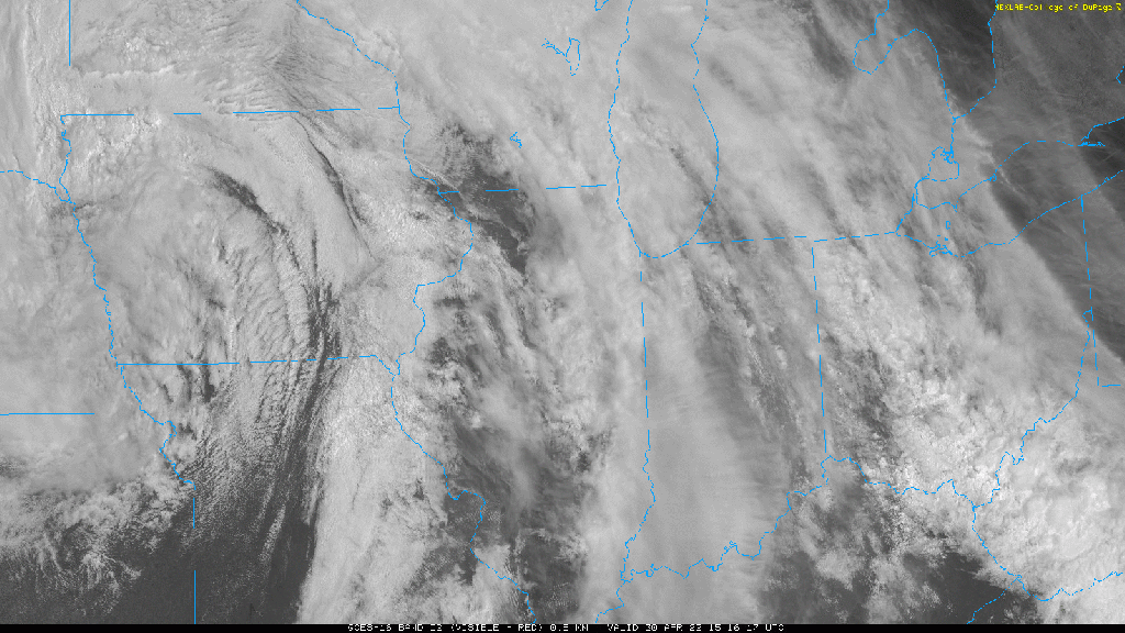
Clouds are breaking for some sunshine out ahead of the actual warm front which is still just southwest of us. Temps and dewpoints aren’t conducive for severe weather locally as of now, but a bit more heating and a surge of higher humidity once that warm front moves through will bring the risk for strong to severe storms into the Region later today. Take a look at our early afternoon satellite showing the breaks in the clouds as the cold front approaches:
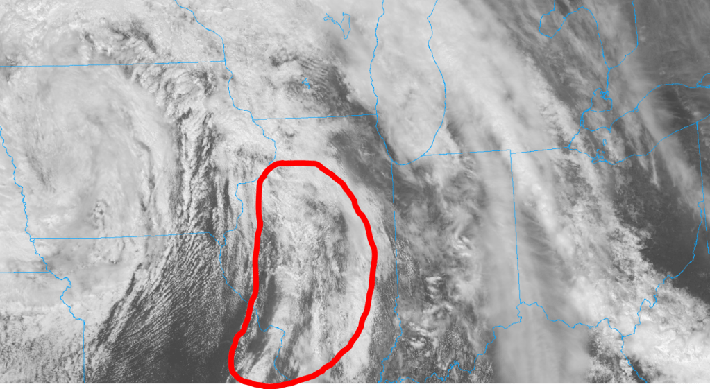
We’ll be keeping a close eye on the circled region over the next few hours for storm development–already seeing some pops just to the west. It’s these storms we’ll watch push into the Region later this afternoon:
We’ll have you covered as always!
