An arctic front will move through the Region during the early morning hours Wednesday bringing rapidly falling temps and periodic snow showers Wednesday in addition to strong, gusty winds. Winds have already been gusty out ahead of this system and they’ll remain that way through Wednesday afternoon. Take a look at the wind gusts over the next 36 hours with this system:

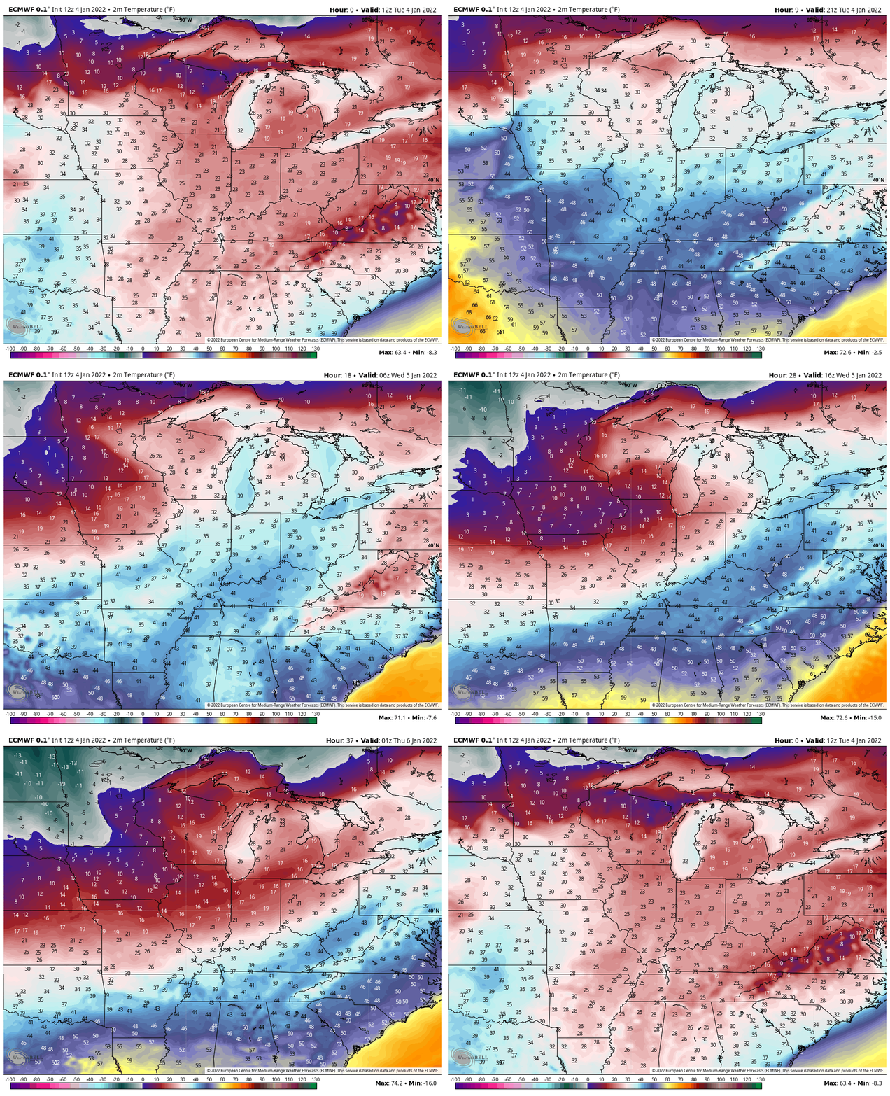
Temps will drop quickly behind our front. We’ll go from the 30s around 3am to the 10s by late morning with wind chill values well below zero from late morning through early Thursday morning:

In terms of snow, we’re not expected a lot from this locally. The lakes will activate with some heavy lake effect snow expected in western Michigan, but with a westerly fetch, the bulk of the snow will stay along and north of the Indiana/Michigan border. We’ll likely see periodic snow showers as this strong front moves through and combined with the wind, we’ll encounter some blowing snow and dangerously cold temps from Wednesday afternoon through Thursday morning. Here’s where the snow looks to pile up:

After this shot of cold air we have another, perhaps more formidable arctic airmass set to move in late this weekend into early next week. Welcome to January everyone!

