
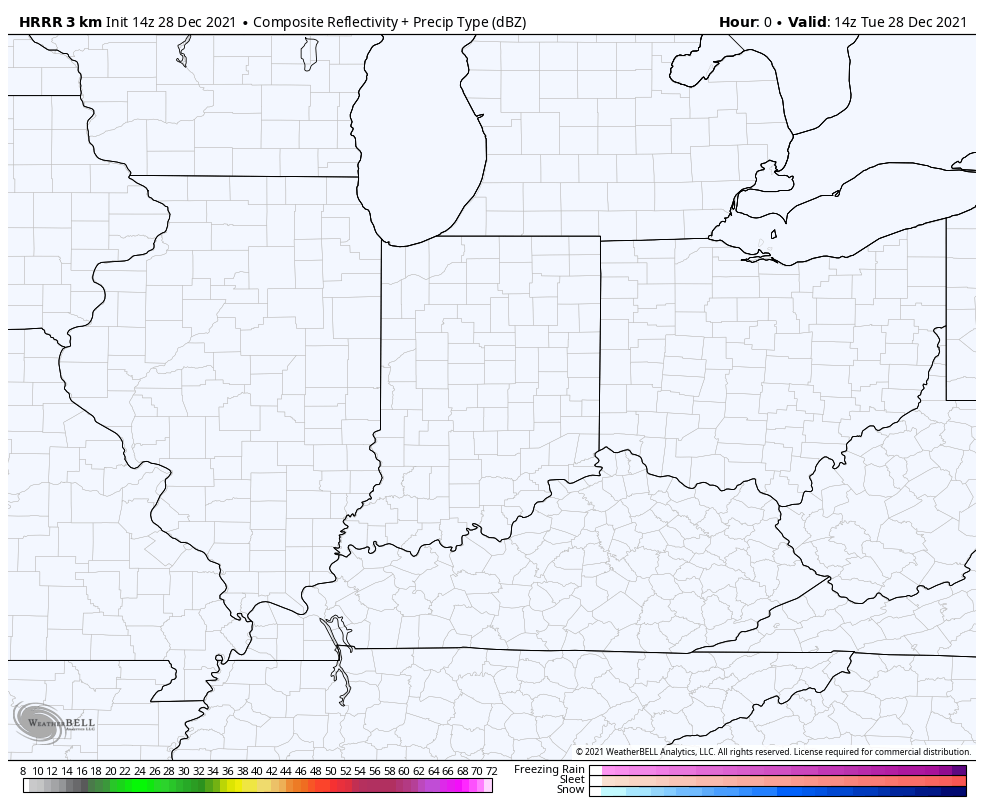
Our next storm system is moving in this morning and will bring a mix of rain and snow that transitions to all wet snow as our atmosphere cools today. We could see a few periods of heavier wet snow before the system departs later today leaving us with a few slushy inches of snow across the Region. Here’s how the system will evolve on radar:
In terms of timing, here’s what we’re expecting:

This system will end with some fog and drizzle later this afternoon as the atmosphere loses that ability to “lift”. Any travel impacts will be confined to the midday and early afternoon hours before conditions improve late this afternoon into the evening.
