
The first in a series of strong fall-time storm systems will move out of the Rockies tonight and into the central Plains with a strengthening area of low pressure. This low will head east and pass right over the Region late Sunday into early Monday morning.
Periods of rain will develop along and ahead of this system bringing a prolonged period of steady rain, heavy at times, Sunday into early Monday. This will bring the potential for some flooding to northwest Indiana by late in the day Sunday and into the day Monday.
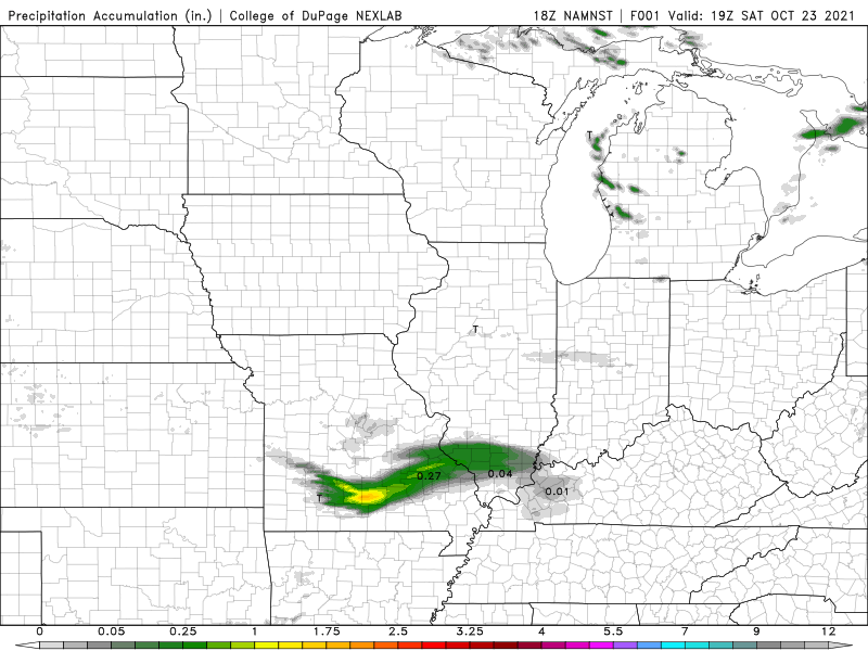
Take a look at how this system will evolve:

In terms of rainfall totals, anywhere from 1 to 4 inches looks likely. Severe weather will accompany this system but should stay south of the Region. Any leftover storms that trail into our area will be capable of producing that efficient, thunderstorm rain which could lead to a few spots seeing over 4 inches when all is said and done.
Another issue with this system will be the gusty winds as the low strengthens and moves through the Great Lakes. Gusts over 40 mph are possible in and around the lakeshore. Areas prone to beach erosion and lakeshore flooding will see some issues. Further inland, wind shouldn’t get out of control, but expect a few gusts over 30mph as this system winds up.

Again, we don’t expect a big severe weather event locally as the bulk of the instability will be just to our south. Heavy rain and gusty winds will be the issue with this system before it moves out Monday. We’ll have you covered!
