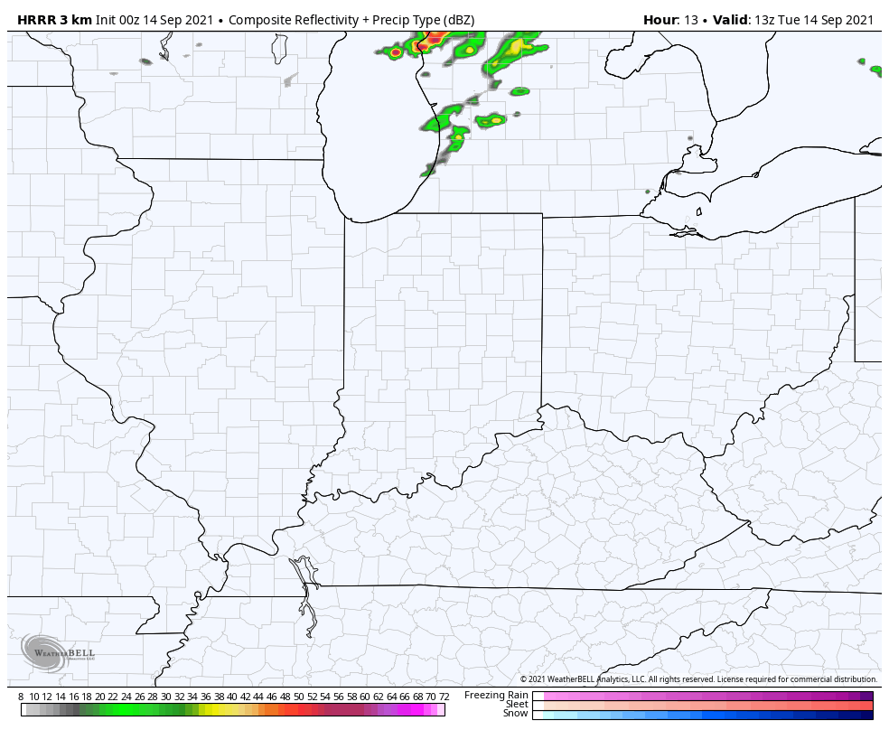
A cold front will move through the Region tomorrow bringing a brief dose of lower humidity and cooler temps. Showers and storms are expected to develop along this front during the afternoon hours before advancing east Tuesday evening.
The big wild card is WHERE do these storms initiate? As we discussed Sunday in our Sunday Snapshot series–these storm won’t be moving in from the west–they’re likely to develop right over NW Indiana or even just east of us (models are split on the idea).
Either way, we’ll be keeping a close eye on the storm potential tomorrow as any storms that develop could go severe quickly in our warm, humid atmosphere!