
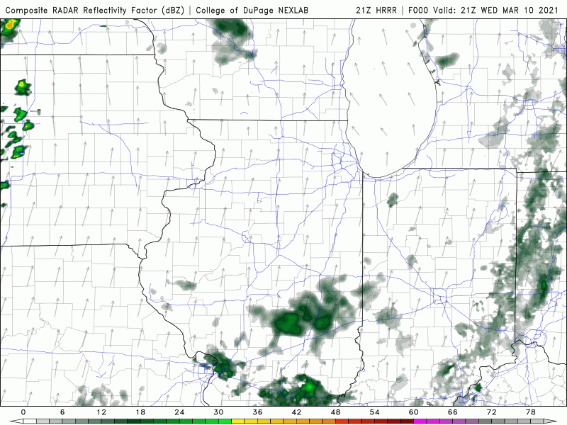
The cold front that will bring our return to average temps around the Region is still well to our west, but it’ll fire off some strong storms in Iowa this evening that we’ll watch move our way overnight. A line of showers and a few rumbles will move through the Region tonight with lingering rain and rumbles possible Thursday morning before we begin to clear things out later in the day.
We’re not expecting any severe weather with this locally, just some gusty winds with the rain and thunder as it moves through after midnight. Here’s a look at what it’ll likely look like on radar:
Enjoy the warmth! We’ll see the temps begin to slide back Thursday afternoon, but until then we’ll be on the balmy side with temps holding in the 60s and upper 50s overnight!
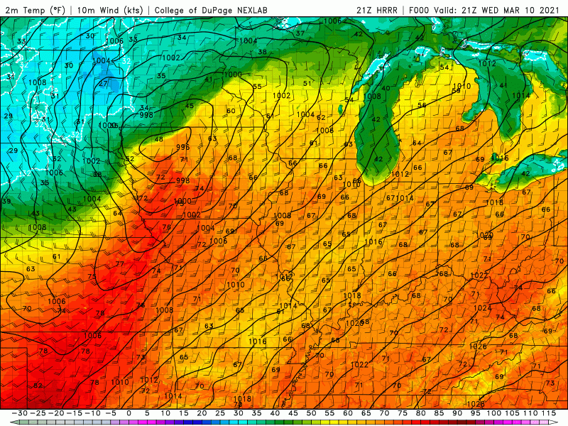
That wind will continue to howl with gusts over 40 mph continuing tonight. Winds will gradually subside once the front moves through during the day Thursday. We’ll keep you updated on anything you need to know about the rain and thunder tonight!
