The polar vortex is relaxing as we speak and we’ll begin to moderate across a good portion of the United States after weeks of relentless record cold. As temps begin to moderate we’ll begin to play with more of a rain/snow mix with incoming storm systems as we’ll be towing the line between frozen and liquid precip.
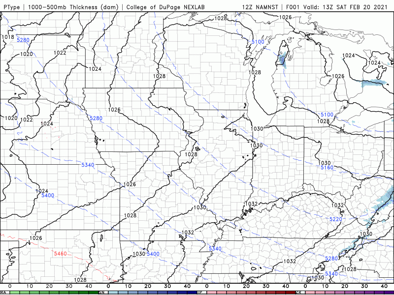
Our next storm system will develop and move in from the west on Sunday with a quick, but potent area of low pressure. This looks to be a quick, rather sloppy system with wet snow and rain passing through the Region before we quickly clear out on the system’s back side. Here’s a look at the evolution of the low pressure as it moves through NW Indiana:
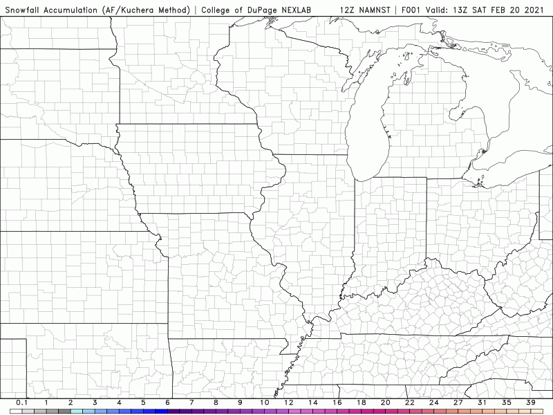
Don’t expect a lot of snowfall from this. If we see more wet snow than rain, we could pick up a sloppy 1-3 inches. If we see mainly rain, we’ll likely just get some slush-factor to the snow. Either way, this will make our dry, fluffy snowscape rather messy Sunday into the beginning of the week as we throw water and milder temps on top of it.
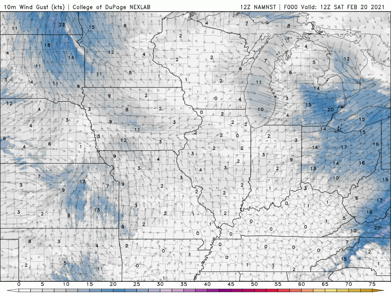
We’re also expecting it to become rather windy as this low passes through Sunday into Sunday night. Gusts could eclipse 40 mph at times, but the gusty winds won’t last too long as high pressure will help them subside quickly.