
Areas of Asia and the north Pacific have been seeing some record to near-record cold air over the last week as a piece of the polar vortex broke off and moved south from the poles (happens every winter, not unusual).
What’s west of us typically comes east and that will be the case with this cold as we’ll see it move from Asia into northern Canada over the next few days and eventually into the lower 48 later in the week.
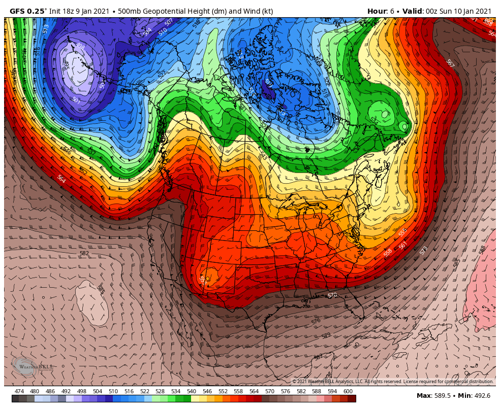
Here’s what that looks like on the big picture view through time. Notice the cold air entering the Gulf of Alaska today. We’re still mild for January across a good portion of the US out ahead of us (although yes, it’s still cold):
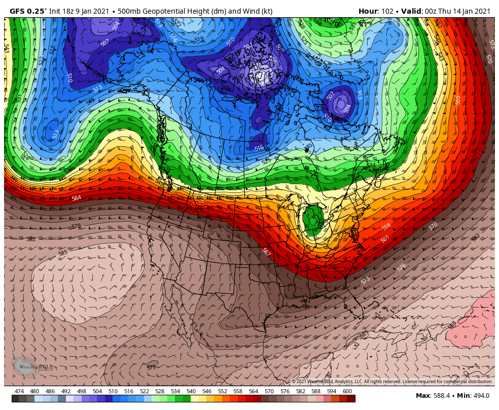
By Tuesday that cold breaks off and moves into Canada:
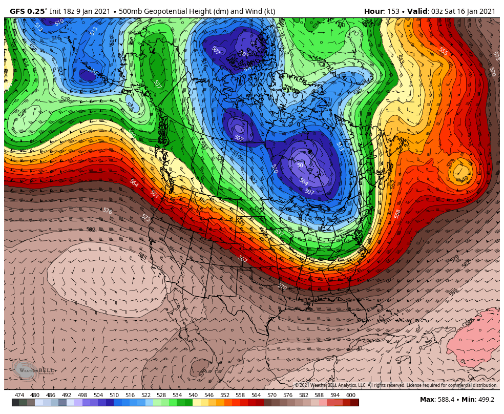
By Friday a piece of that breaks off and moves south into the lower 48 including the Great Lakes:
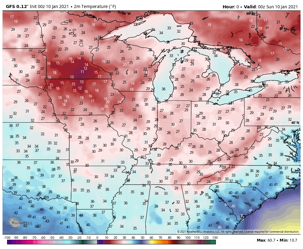
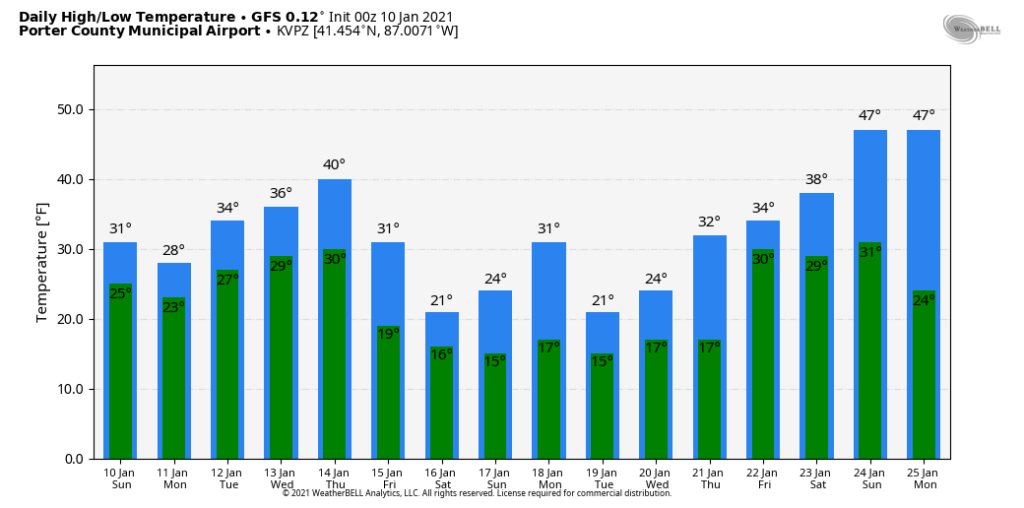
We don’t expect record cold here in the Region, but we’ll definitely turn towards a cold spell that you’d expect in January with highs in the 20s and lows in the 10s )–it all depends on how quickly and how far south this cold air can make it before it moderates.
An example of our potential highs according to the GFS. As we always caution when looking at long term models, don’t hold these numbers for truth, just look at the trend.
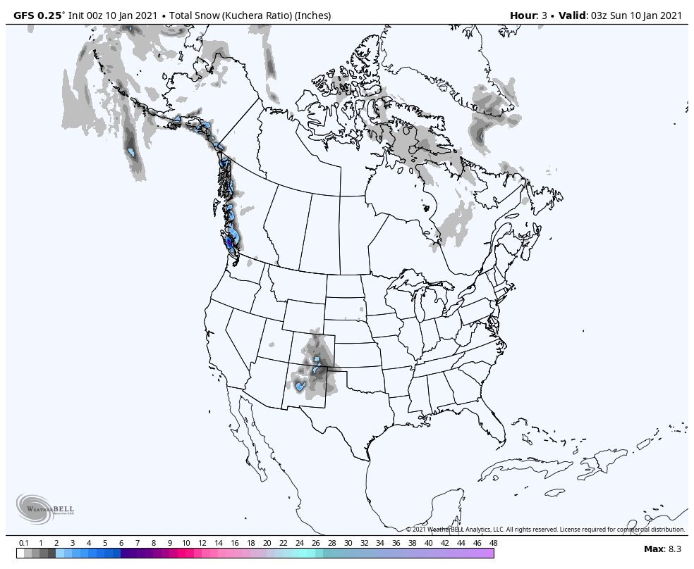
This will kick off widespread lake effect snow late this week into next weekend. With the potential for multiple days and systems moving through the lakes, the lake effect snow will potentially continue on and off through the following week. Watch the snowfall off the Great Lakes ramp up over the next 15 days:
In terms of local snows, it’s too early to tell if we’ll have some type of storm that brings snow during this period. We’ll certainly be cold enough and as of right now it looks like our best chance would come from lake effect (especially LaPorte Co). However, with a storm track to our south the potential is there for a system or two to develop and bring some snow somewhere in the Region. Not shocking as it’s winter and the month of January around here. We’ll keep you updated!
