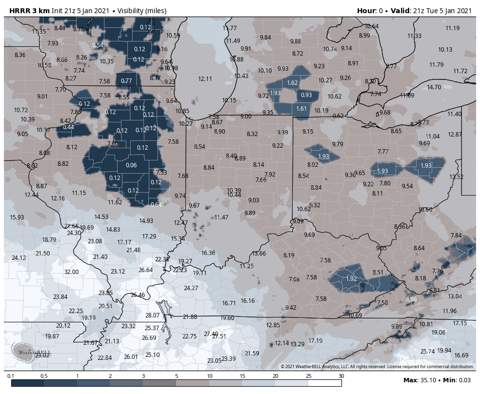
A large area of dense fog will continue to develop to our west but will likely work into NWI overnight in our relatively stagnant airmass. Temps are expected to drop below freezing so we may encounter a few slick surfaces overnight into Wednesday morning–just keep that in mind if you’re heading out early tomorrow morning!
Here’s a look at our projected visibilities through Wednesday afternoon: