
Not much has changed from our previous forecasts as we’re still expecting a strong cold front to move through the Region late Wednesday into the early morning hours Christmas Eve. This storm will bring us strong winds, a sharp temp drop, and a round of rain with some snow showers on the back side.

We don’t preach hype, we preach IMPACTS and here’s what we’re expecting for the Region in terms of top impacts:
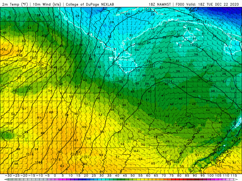
COLD TEMPS – temps will drop sharply Wednesday evening with “feels like” temps going from the upper 40s Wednesday during the day to near zero by Christmas Eve morning.
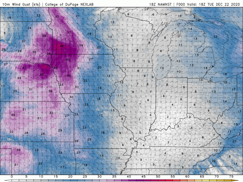
GUSTY WINDS — Wednesday will be very windy with gusts over 45 mph possible at times.
LAKE EFFECT SNOW — we’re still keeping our eye on the lake effect snow potential Christmas Eve into Christmas Day as we’ve been mentioning in our Facebook Live Broadcasts. It all depends on the exact wind direction and amount of moisture leftover when this system moves out, but Porter, Starke, and especially La Porte County would all be in play for some accumulating snow Christmas Eve into Christmas morning.
WHITE CHRISTMAS CHANCES
For most of us, it doesn’t look great. The bulk of the moisture (rain) with this storm is out of here by the time the cold air moves in. We’ll likely see some snow showers from time to time Christmas Eve day, but the bulk of the accumulations will be east. Our shot at a White Christmas comes with our lake effect snow chances later in the day on Thursday into Christmas Eve and Christmas Day. Stay tuned!
