
The party is almost over as a series of cold fronts will head towards the Region over the next 5-7 days bringing sequential doses of cooler air to the area.
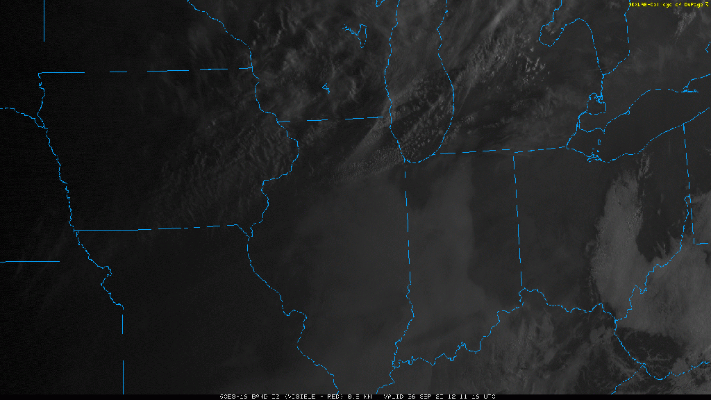
We have a WARM day today with breezy conditions and highs making their way into the 80s. Something the models (and your phone apps) aren’t picking up on are our pockets of low clouds this morning.
The clouds will eventually give way to some sunshine as the atmosphere becomes mixed this afternoon, but we think it will hold our temps back from the mid 80s we’re seeing forecasted.
Clouds will increase Sunday with showers developing from west to east later in the day. Highs will still make a run at 80, although clouds and eventual rain may prevent us from getting there.
Our first dose of cooler air arrives Sunday night into Monday. The next, potentially more substantial dose of cool air is set to arrive later in the week with next weekend looking pretty chilly at this point! Let’s focus on this weekend first–here’s your forecast brought to you by our local Buckle Store at the Southlake Mall. They have a great new Fall line that will help us stay cozy during this upcoming cool air!

