
Happy first day of Meteorological Fall everyone! Right on cue, Mother Nature will provide a more active weather pattern over the next week with numerous cold fronts lined up to move through the Region.
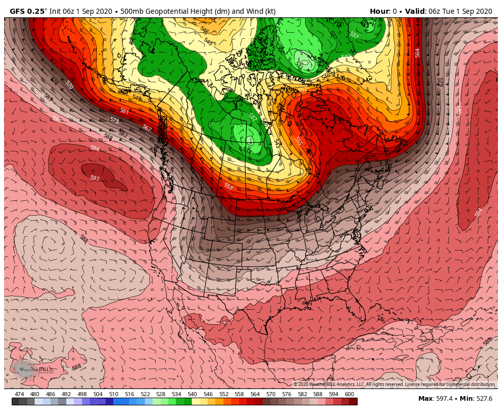
The remnants of a typhoon in the Pacific will actually help bring quite a cool snap to the Midwest next week! The remnants are in the form of a very strong low pressure system that will move into Alaska helping to dislodge some of that typically cool Canadian air into the Midwest. Take a look at how it evolves this weekend:
The resulting high temps next week will likely not make it out of the 60s a few days. Look at how cool it gets just to our north! Low 50s and 40s for highs? Yikes! Here are some of the potential numbers.
Tuesday potential high temps:

Wednesday potential highs:
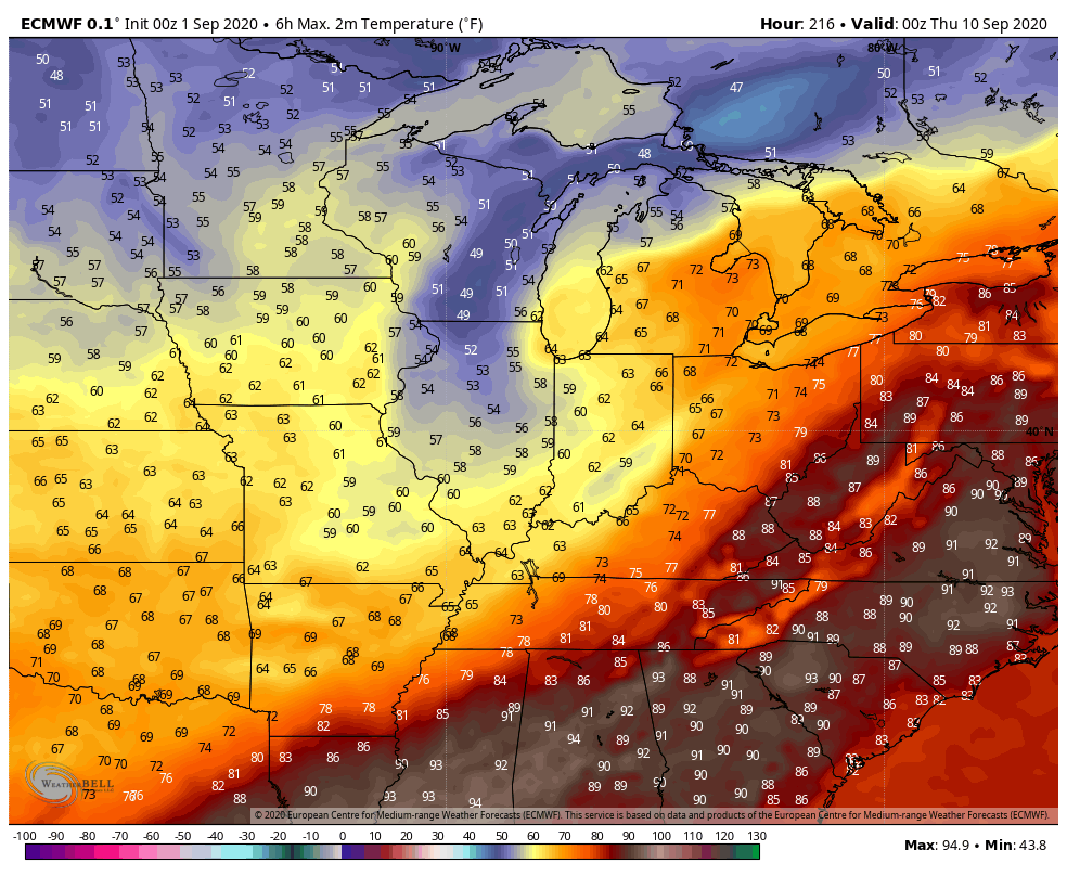
Thursday potential highs:
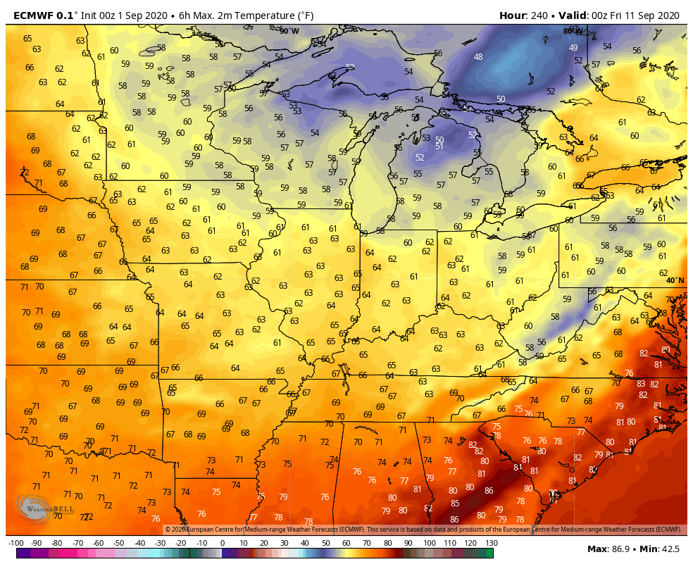
Look at the potential low temps Thursday morning! What a change!

Cue the pumpkin-spiced everything. Fall lovers will get a decent early preview of their season. We’ll keep you updated!
