
Tropical Storm Cristobal will continue it’s northward movement over the next few days as it brings a decent storm surge and heavy rainfall to the Gulf Coast states. The moisture will head northward without much interference into the Missouri Valley and eventually

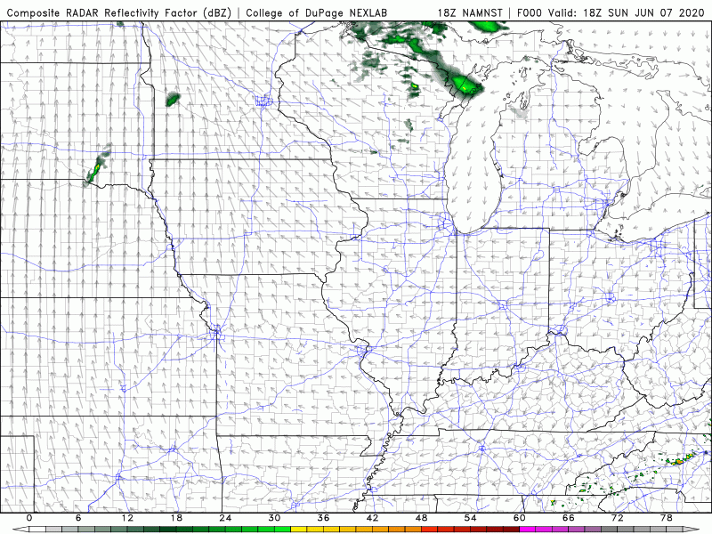
Here’s a take on what the radar presentation may look like as the remnants of Cristobal move northward. The center will likely pass to our west, but we’ll still see some quick-moving downpours on the eastern side of the system.
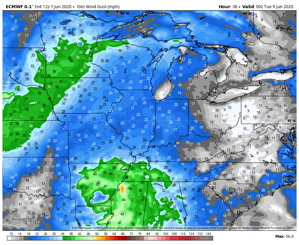
We’ll likely see some decent wind gusts as the remnants breeze through–it all depends on the exact track of that low, but our strongest winds would be Tuesday into Wednesday as the heart of the system heads north through Illinois. Winds could gust over 40mph if the low passes close enough:
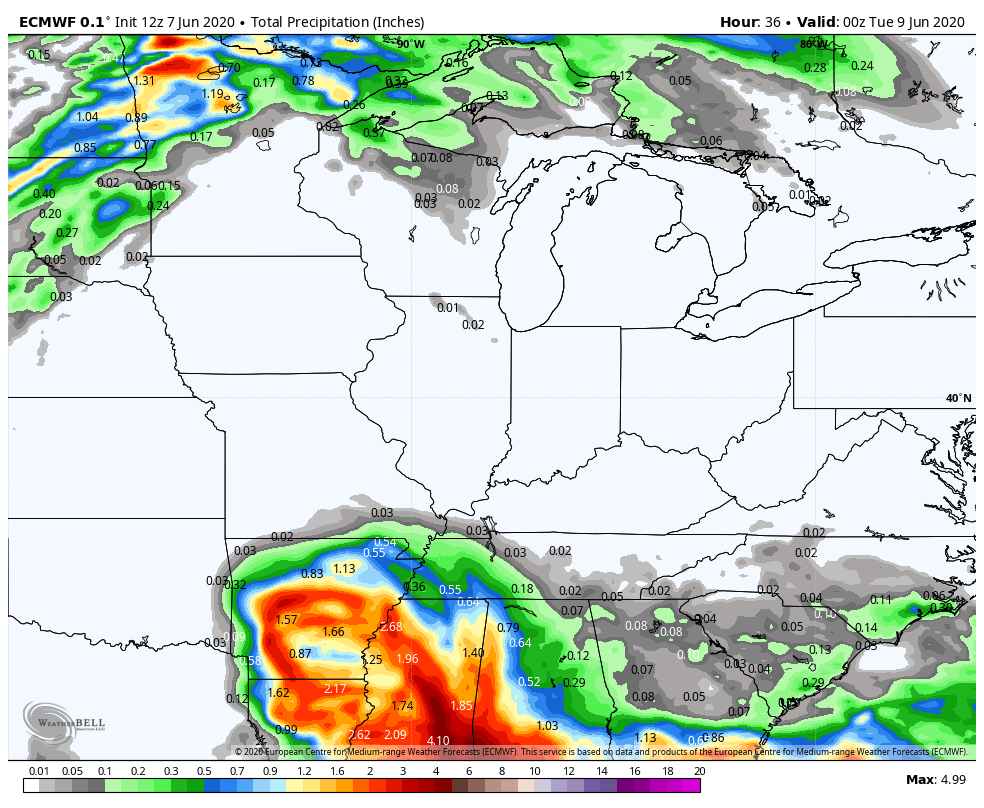
We’ll get some rainfall, but we’re not anticipating a huge rain event. Cristobal will attach to a cold front that’s sitting to our west right now and we’ll likely see a round of rain with the actual remnants and then another wave with the cold front before we bring in more refreshing air for next weekend. Rainfall totals will be impressive where the center of circulation travels–but this will be a fairly quick mover, so flood threats look minimal:
We’ll continue to watch closely over the next few hours and will pass along any changes to the track and forecast locally!
