
RAIN, FLOOD THREAT RETURNS:
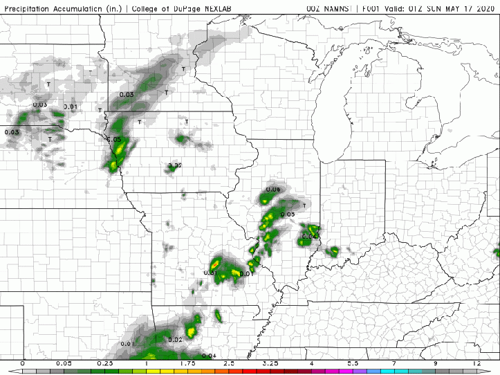
Our next round of rain in on the way and will move in overnight with a few periods of heavy rain possible.
We’ll likely turn more showery during the day Sunday before another batch of heavier rain and a few storms move in bringing a renewed flood risk Sunday night.
Attached is a look at potential rainfall through late Monday with anywhere from 2-4 additional inches possible.
Typically, this storm system will zip on by and we’d clear out beyond this–however, the newly developed Tropical Storm Arthur off the coast of Florida will actually stall this system out over the Ohio Valley leading to a much slower progression eastward.
This storm system will swirl it’s way through Indiana, Ohio, and Kentucky all the way through Thursday!
It does look like the heaviest of our rain locally will be tonight-Sunday night.
More updates to come.
