
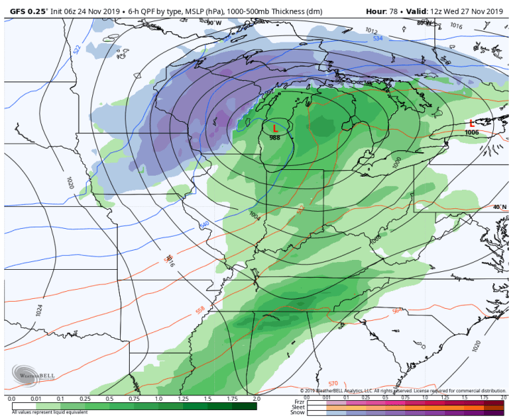
Models still agree nicely on the outcome of our Tuesday-Wednesday storm this week…the only differences are a few miles in the track of the low and the speed of the low. The track and precip type looks pretty locked in.
The GFS:
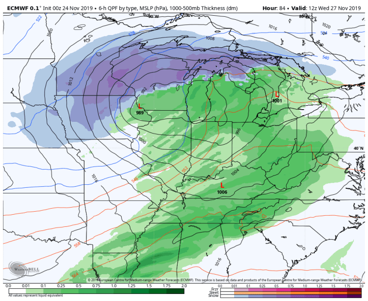
The Euro:
and just for fun, the Canadian:

Impressive! This will produce quite a bit of rain Tuesday into Tuesday night with breezy conditions turning into very windy conditions, especially Wednesday morning through afternoon. In terms of snowfall, we may have some flakes early Wednesday but nothing that looks impactful locally! The wind will be the big issue for all those traveling Wednesday. Stay tuned!
