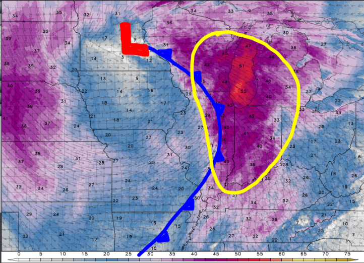
Our next storm system continues to develop in the central Plains as an area of low pressure gains strength:

An organized line of showers and a few storms will develop on the leading edge and will bring a round of rain to the Region Monday morning–some of which may be heavy at times before quickly ending from west to east by mid to late afternoon.

We’ll likely see another line of showers and storms develop further to the west along the actual cold front. This will roll through during the midday into early afternoon hours with a line of quick-moving downpours and will be accompanied by strong winds, likely gusting into the 40+ mph range. Once the front is through we’ll see cooler temps and a windy Monday evening. The wind will continue to gust over 30mph through the day Tuesday.

In terms of temps, notice how the bulk of the cold air with this storm system stays northwest of us. The storm system will be moving from the southwest to the northeast–so we don’t get a true blast of cold, Canadian air–instead we’ll replace our late season mild temps with a cooler version of more seasonable temps mid week.

