
We’re in store for quite the change later this week across, not just the Region, but the majority of the eastern US as a large scale pattern shift takes place.
Welcome to fall y’all.
A strong cold front will sag south across the Region Wednesday into Thursday. The front won’t directly blow through with a line of storms like most…instead, it will slowly sag south through the Region bringing cooler air in slowly.
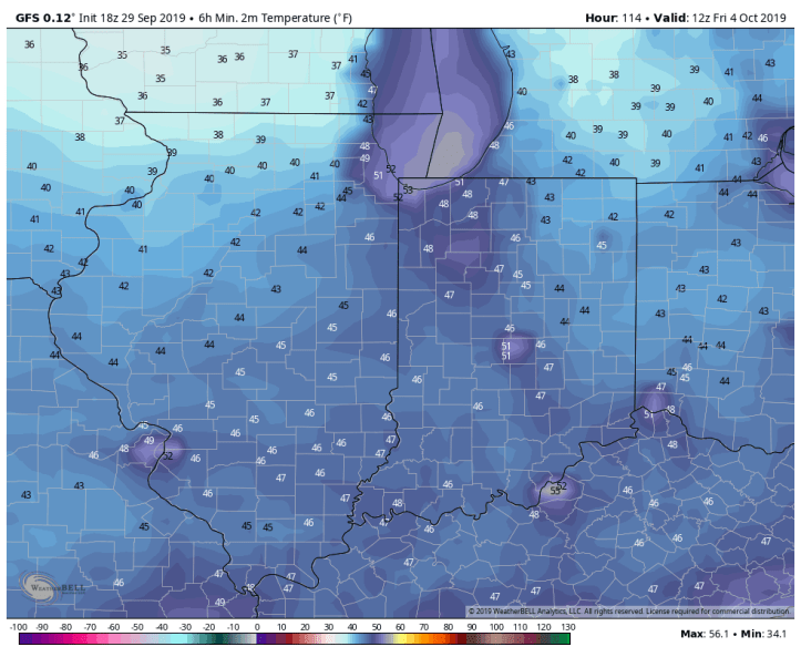
Once it does, however, we’ll be truly feeling the changes. Take a look at potential temps when you wake up Friday morning:
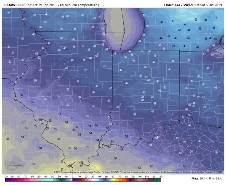
The Euro is a few degrees warmer, but still chilly:

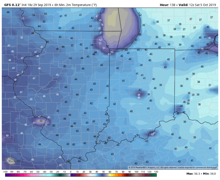
By Saturday morning, high pressure shifts east, but still leaves us with a chilly morning:
And the Euro for Saturday morning:
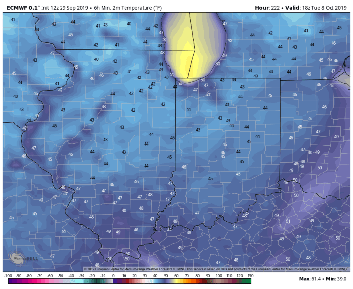
This pattern looks to stick around for awhile and includes a few additional cool spells (duh, it’s Fall) into the following week. Here’s a preview of Tuesday morning, October 8th:
We’ll chat about the next few days leading up to this chill in our next update!
