
A cold front will make its way into the Region during the afternoon and evening Sunday bringing a chance for showers and storms and given how unstable our atmosphere is–a few of those could be strong to severe. Let’s get down to it…
Here’s the threat area as of Saturday night: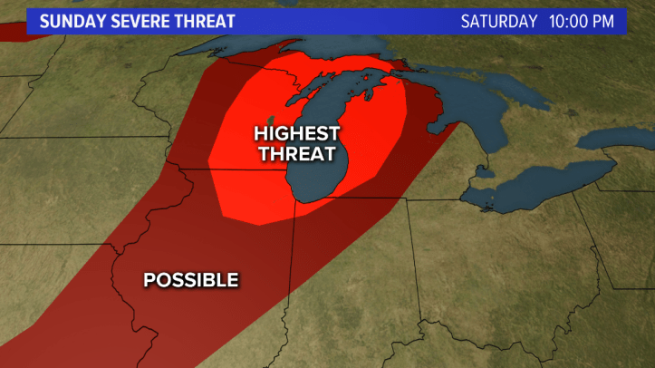
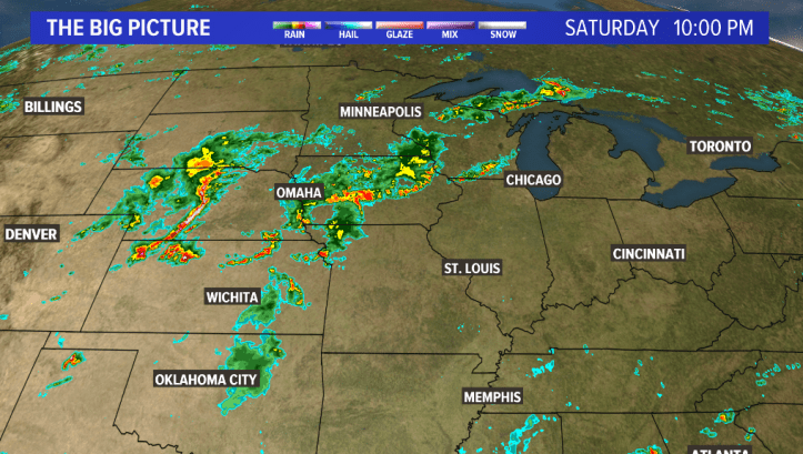
You can see the active radar we have out ahead of this front as of Saturday evening as well–lots of explosive thunderstorms!
Let’s time it out–much of the day Sunday looks QUIET–but it’ll continue to be hot and humid. Here is what the morning looks like:
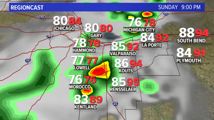
(White number=temperature, Red number=heat index)

By afternoon, still quiet, but we’re seeing more clouds off of Saturday night’s storms:

By late afternoon into the evening, we’ll likely have a line of developing storms west of us that we’ll track through northern Illinois into the Region:
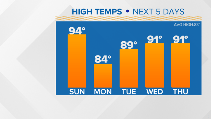
Fast forward to Monday–we cool off with a nice breeze out of the northeast!

Whee! There go our temps before the heat returns mid-week as the same ridge shifts back WEST!
We’ll have another update early Sunday!
