NEXT UP: POTENTIAL FOR HEAVY LAKE EFFECT SNOW
Anyone else ready for Spring? This has been a record-setting stretch of prolonged cold in the Region and now we’ll add more snow on top of it. January wants to go out with a bang.
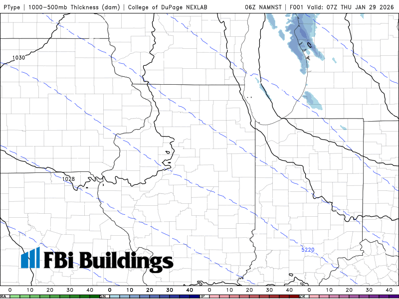
So what’s the deal? Lake effect snow will be ongoing in Michigan today into tonight. A very strong arctic high pressure will slip south into the US tonight into Friday switching our wind around to the north. This wind shift will drive this band of snow into the Region and with it running the length of Lake Michigan–it will intensify. This will impact the Region Friday and Saturday, but we will likely catch a break as it heads west for a bit during that timeframe. Localized amounts over 6 inches are possible, but you know the drill, some of us won’t see much at all.
I’ll break down the latest in a Region Weather LIVE broadcast tonight at 5pm CT.