WEEKEND WINTER STORM: THE BIG PICTURE
Happy Friday everyone! The cold air is here behind last night’s arctic front. Wind chills values will remain in the -20 to -30 range today with air temps near 0. Seriously cold stuff today into tonight through Saturday when we get up near 10 at best.
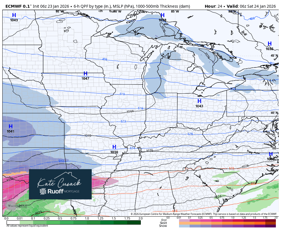
You’re probably sick of hearing about this winter storm at this point–and thankfully it’s almost here. Below you’ll see the latest expected track and precip types with this storm. Notice the bulk of it misses us to the south, but we’ll get clipped with snow starting Saturday night and especially Sunday with a general snow expected to move through the Region. Also of note–there will be a pesky, rather small band of lake snow that will bring steady snow along our lakeshore communities all weekend long. It doesn’t look to be very heavy, but persistent light snow may add to our snow totals along the immediate lakeshore.
That being said, we’re expecting a general 2-4 inches for most with up to 6 possible in our northwest Indiana zone from this system Sunday through early Monday. We’ll need to keep an eye on any leftover lake effect Monday which could add to totals, but overall we’re not looking at a huge snow–but it will still be impactful. Cold air and gusty winds come back in on the backside of this Sunday night into Monday so blowing snow will be a factor.
If you have travel plans anywhere south or east of here it will be very tough Sunday and Monday. This system has a huge area that it’s impacting, so shipping delays and flight delays will be very common next week as cleanup begins. Cold air continues all the way through late next week with our local temps in the single digits and low 10s most days–this snow won’t go anywhere!
We’ll have updates for you as we go into and through the weekend, so stay tuned!