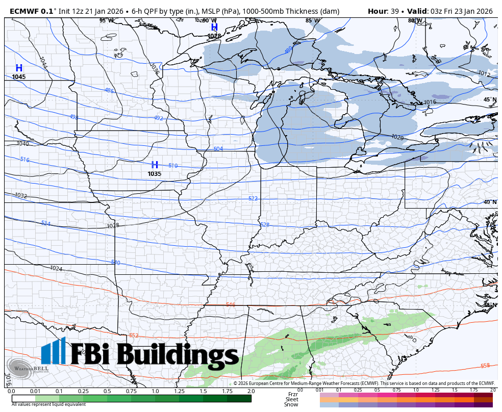
We’re still on track for a winter storm to impact a huge part of the eastern US from Texas to the northeast and the latest model runs are in this afternoon. Not much has changed locally, as our major models are all keeping the northward track that began to come into play early yesterday. As a result, we’re still expecting widespread accumulating snow from this one beginning sometime Saturday (thinking afternoon) and continuing through the day Sunday before winding down Sunday evening. There won’t be a ton of strong wind with this, but the snow looks to be efficient (especially with some help from jet energy and the low itself) early Sunday with higher snowfall rates possible at times. Overall the persistent snow and it’s longevity (Saturday through Sunday) will help us to wring out a shovel-able snow across the Region. Right now the highest totals look to occur the further south and east you’re located. An early look puts totals in the 3-6, 4-8 range…but that’s preliminary and just as a heads up to what ranges we could see. We can finetune that tomorrow into Friday as we get closer to the event itself.
What could change? The track could still adjust a little bit and the moisture on the northern side of this may shrink back in coverage. On the flip side, the low could adjust slightly closer to us bringing the potential for even heavier snow at times.
What’s locked in? It’s going to snow and this will likely be a shovel-able event with messy roads all across Indiana later Saturday into Sunday.
Stay tuned, don’t let this be the last forecast you see…but this is what I’m seeing as of this afternoon. Wanted to give you all an update!