THURSDAY EVENING UPDATE ON OUR UPCOMING SNOW
Will this be a blockbuster snow? No. Social media needs to cool it. Will we get SOME snow? Sure.
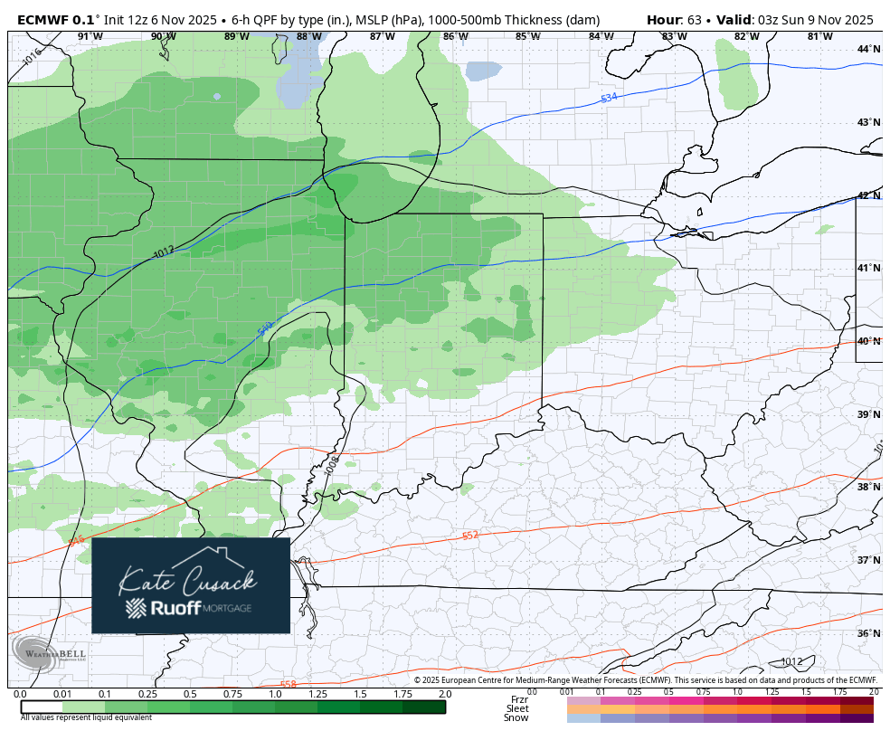
Our first snow of the season always brings a ton of hype and this year seems worse than ever. I don’t care if it’s Region Weather, but please find a source from an actual meteorologist. Feeds are full of sites that just put out a dramatic picture of one model output of the highest snowfall totals. Okay, enough of that, here’s the breakdown to this afternoon/evening model runs.
Still expecting rain to change to snow during the day Sunday. By evening we should have mainly snowflakes flying. It may get a little slushy around here Sunday afternoon but the main period of accumulating snow will have to be once the sun goes down.
Sunday Afternoon/Evening Impacts: Low
By Sunday night a new low pressure and its associated energy will dive south across the western Great Lakes. This low will reorient the winds as well as bring a renewed shot of colder air. This will likely ramp up a decent lake snow band running the length of Lake Michigan and could bring a period of heavier lake snow into portions of northwest Indiana. This band of snow could (and probably will) waffle back and forth into Illinois and then back into the Region Sunday night into the day Monday before lake effect then shifts east later Monday into Tuesday.
We will have accumulating snow if this materializes, but I don’t think it will get out of control. At this distance (and amounts will still fluctuate) I could see several inches of snow where the band persists with much lighter amounts outside of it (for the majority of us). I don’t think this will be a big event, but several inches of snow and the proper timing (think Mon AM and PM commute potential) can still create an impactful snow.
So for now–snow is on the way. Will it be a lot? It doesn’t look like it. Will it be some? Yes, and the impacts are still to be determined based on where our lake effect band decides to set up.
And just for fun–there are multiple model solutions that bring this system through much quicker with very little snow for all of us. These are the lesser likely scenarios, but they do exist. We’ll continue to update you with our latest forecast thinking, but let’s be careful at this distance to not blow this first snow out of proportion. We can handle snow in November 🙂