
Here we go again! On the heels of our severe storms Sunday evening, we have another threat of severe weather with the next storm system set to arrive Wednesday. As we’ve talked about in our broadcasts over the last week–this next system will be a bit different from the last in that we’re expecting two rounds of storms. The first early Wednesday and the second later in the day Wednesday.

We’re expecting round one to move through sometime Wednesday morning and it will be the leftovers of the severe weather that develops and affects the central Plains Tuesday night. We’ll likely watch storms roll out of Iowa and into Illinois Tuesday night into early Wednesday. These storms would be fading as they move in–but could still on the stronger side. The severe threat from these would focus on hail and frequent lightning as…you guessed it…they’ll be associated with the warm front.
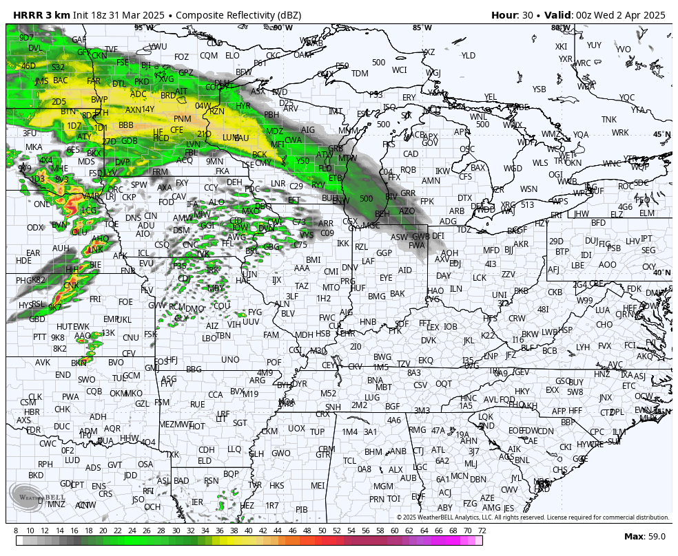
The big question will be–how much do we clear out and destabilize during the day Wednesday and will there be enough instability for another round to develop. Most model guidance says yes and we’d be dealing with our second, and potentially more potent round of storms sometime Wednesday after lunchtime into the afternoon. There’s not a ton of confidence in this round in terms of timing and intensity–mainly because we need to see what happens with round one. However, the potential is there for round two to contain all modes of severe weather (damaging wind, hail, tornado potential) as it moves through with the strong cold front.
We’d likely be in the clear by Wednesday evening as cooler temps begin to filter in.
We’ll have a special LIVE broadcast tomorrow (Tuesday) on our Facebook Page and YouTube Channel at 6pm CT to cover the latest thinking regarding our threat on Wednesday. Join us!
