Good morning everyone–naturally, we’re getting a better look at how things will evolve today regarding our storm threat. The area of energy we’ll be watching this morning is coming out of Kansas/Missouri with scattered rain and a few storms along and ahead of it. (you can see it on radar if you’re tracking along)
As this pocket of energy moves into our unstable environment, we’ll see a line of storms develop later this morning into the midday hours. These storms would likely roll through the Region early this afternoon before exiting quickly to the east. Still some discrepancy regarding how severe they are specifically for us here in NW Indiana–there’s not much doubt they’ll be strong to severe for much of the Hoosier state, but we’re the questionable area in terms of strength of these storms as they move through. Damaging winds would still be the primary threat and again, the timeframe to watch will be midday through early afternoon. We’ll provide updates as needed!
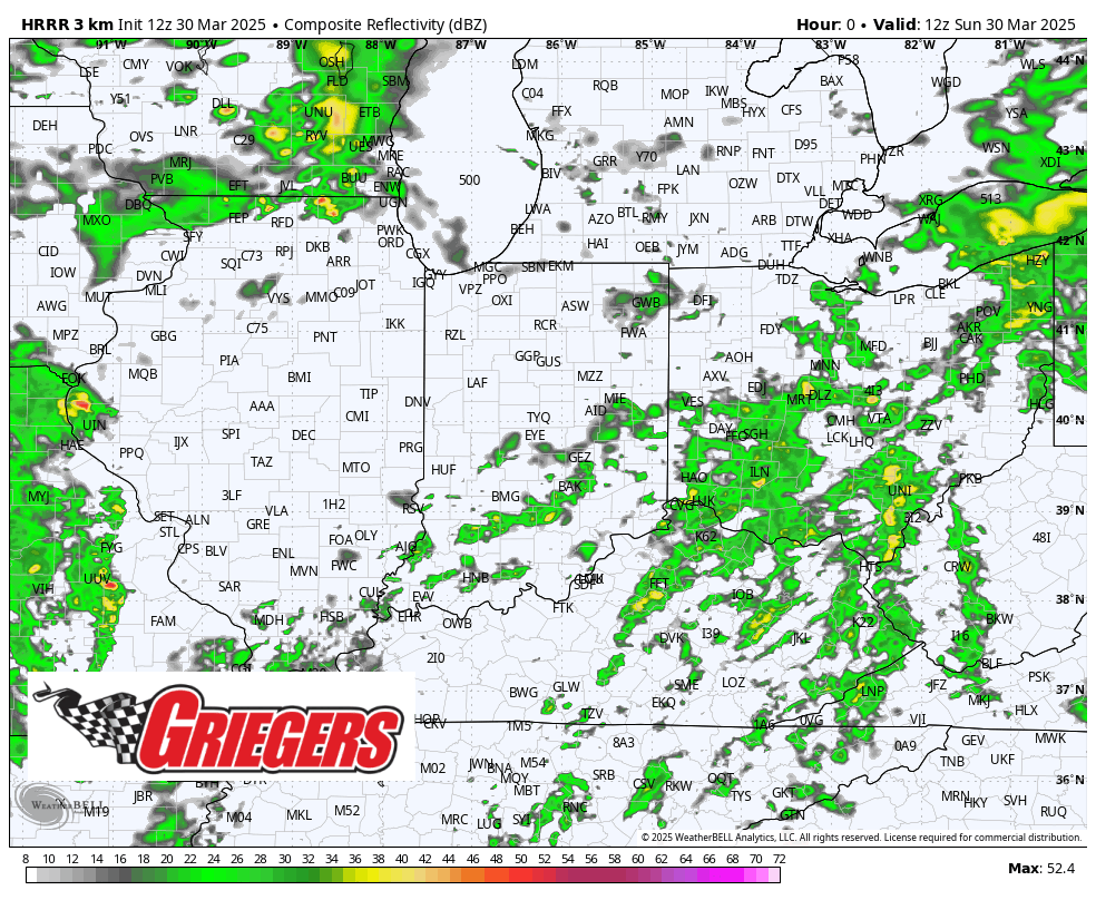
The HRRR is the most bullish model bringing an intense line of wind damage producing storms through the state. The NAM model shows more of a broken line, but still with the intensity we expect out of a line today.