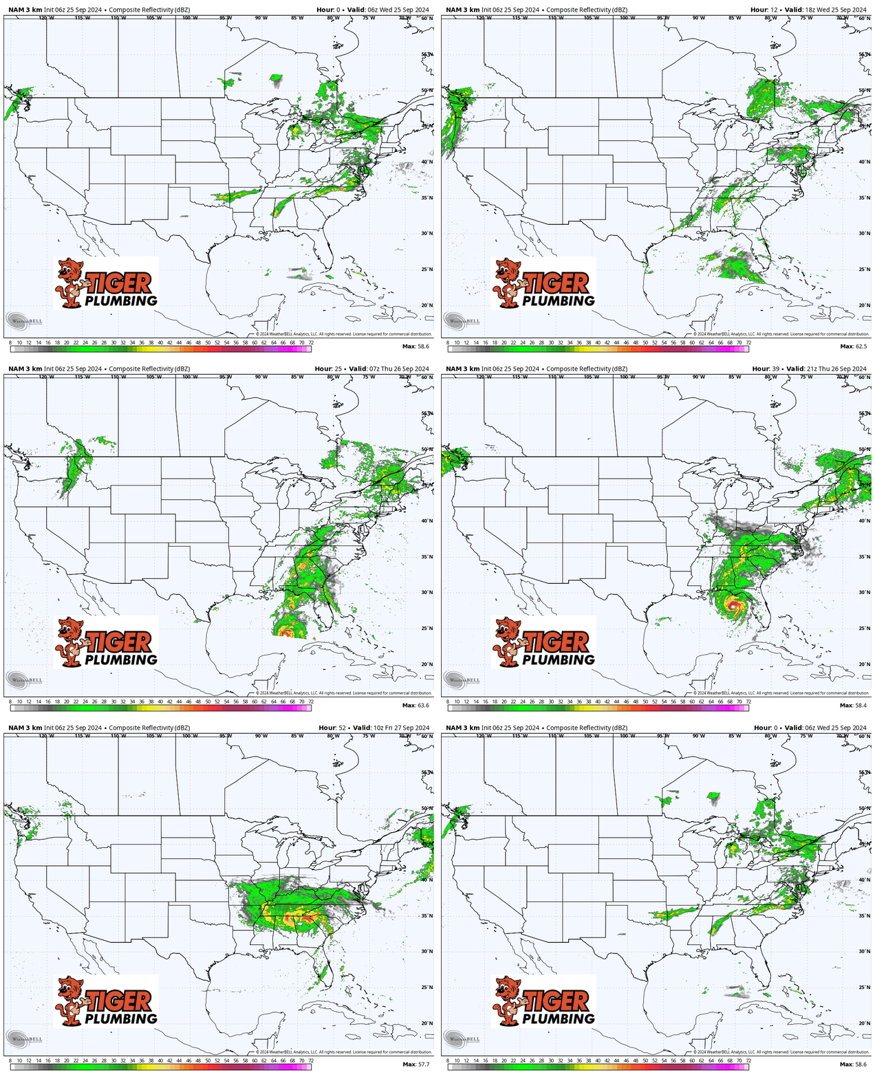
Helene will likely become a hurricane with the next update later this morning as rapid strengthening is expected to occur as it heads out into open waters in the Gulf of Mexico. With little shear and essentially warm bathwater in the Gulf–this will be a big storm as it makes landfall along the Florida coast Thursday evening.
We’ll watch the remnants head our way Friday into the weekend! This storm will quickly get absorbed into an upper level low to the west–this will quickly put an end to any tropical characteristics. Impacts locally don’t look to be much. Rain bands will try to come our way but drier air will be working to erode the rain at the same time. We’ll get a bit breezy around here late Friday, but we’ll have to wait to see if the rain can make it this far north. If it does, it would be around this weekend with just scattered rain–nothing major. We’ll continue to update you but for now, all eyes will be on the Gulf of Mexico.

