Happy Wednesday everyone! As we continue to roll right on through this work week we really have enjoyed some amazing weather and that trend continues today with highs pushing 70 with increasing clouds.
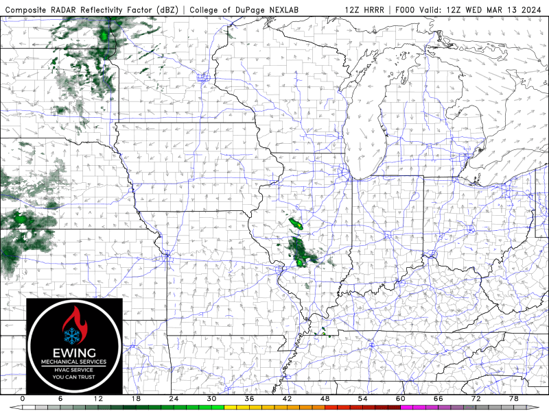
As our next storm system approaches from the west, we’ll likely see rapid and widespread thunderstorm development from Kansas to Missouri later today and it’s this activity we’ll be watching to move in here tonight. Our severe threat is there, but I’m still not overly impressed with our chances locally–but tonight and through early afternoon Thursday, we’ll need to keep a close eye on the radar. We’ll pass along updates as needed!