
Good Tuesday evening everyone! Just wanted to give everyone a heads up that we have a “sneaky” snow on the way. It’s sneaky in that there’s not a lot of chatter on this and it’s not a big system by any means–but I could see it bringing portions of the Region more snow than we’ve received from any system yet this season (doesn’t say much, but still!)
The setup RIGHT NOW: Bitter cold air continues to sit right over the Region, but we’re in recovery! A decent breeze tonight will keep temps right where they are near 0 before we “moderate” into the upper 10s Wednesday.
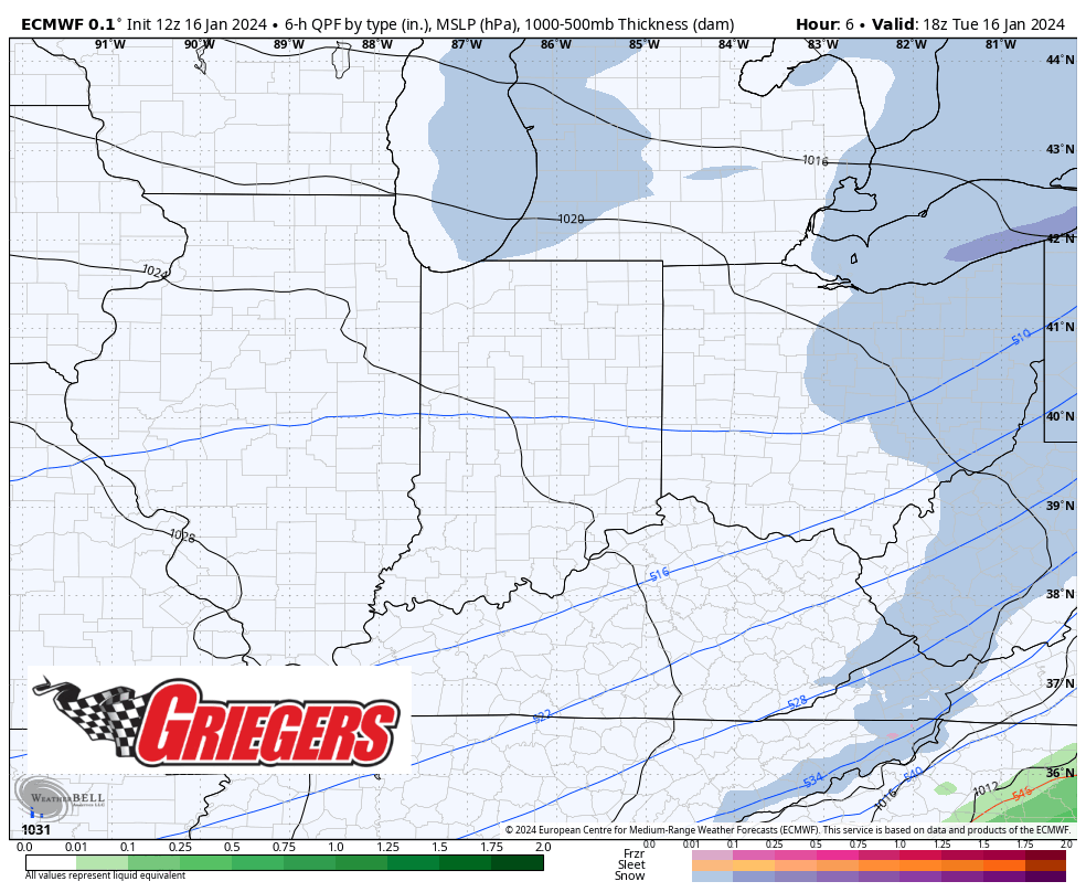
This is in advance of a series of weak systems, but despite their lack of strength, we could end up with some decent “sneaky” snow around here. Here’s what we’re watching:
WEDNESDAY AND THURSDAY
An area of energy will rotate around the much larger trough of low pressure in eastern Canada bringing a narrow band of snow through Illinois and Indiana Wednesday afternoon/evening into Thursday. Amounts don’t look heavy, but a persistent snow could fall across portions of the Region depending on where the narrow band ends up setting up.
THURSDAY NIGHT AND FRIDAY
Thursday night into Friday we’ll quickly dive into our next storm system which has a bit more energy with it–the result will be a widespread snow that eventually taps into some lake effect potential–especially for eastern Lake, all of Porter, and La Porte counties. We could see some briefly heavy snowfall rates with this lake effect where it sets up–timeframe would be Friday into Friday night.

Colder air wraps in Friday and into the weekend before we moderate next week.
Just a heads up that we could have some impactful snow, especially the lake effect portion of all this come late Thursday and especially Friday. We’ll continue to keep you posted!
