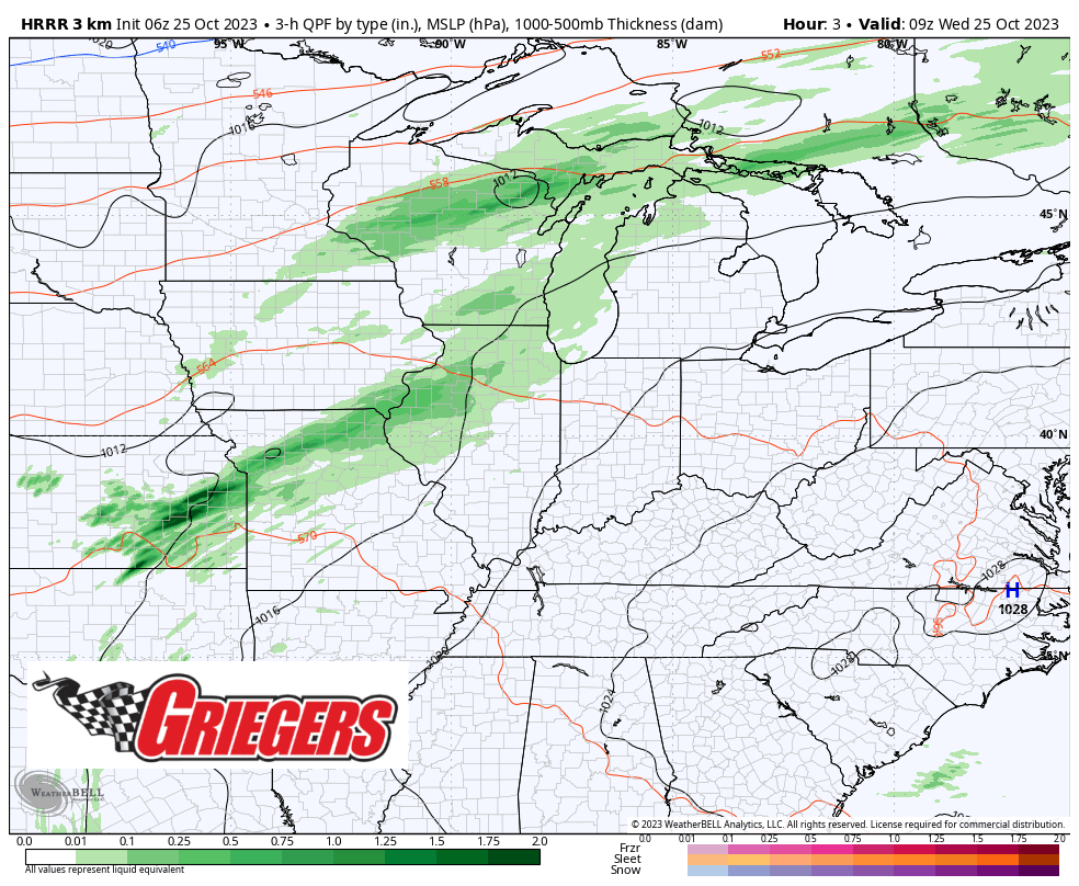
The battle between our warm air and the MUCH cooler air to the west will take place right over the Region and the upper Midwest the next few days with on and off showers. After our wet morning commute this morning, rain should back off a bit this afternoon becoming more “showery” in nature. Highs today won’t push records like they did yesterday, but we’ll still hit the mid 60s. Tonight steady temps in the 60s can be expected as a warm front lifts north of us again. Highs will push into the 70s both Thursday and Friday with periodic showers before that much cooler air begins to slowly step its way in this weekend. Snow is possible by Halloween–tis true. We’ll have more time to chat about that (or not!) over the upcoming days!