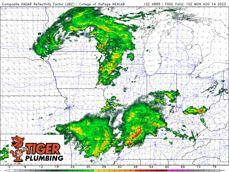
Good Monday morning everyone! An area of low pressure will spin its way through the Region today bringing a line of heavy rain-producing storms through in addition to more rain and breezy conditions as the back side of this system swirls through. We DO carry a threat for some severe weather today, but primarily isolated tornadoes due to high amounts of shear in the atmosphere–so stay weather aware (we will too) as some of our storms could get a bit “squirrelly” this afternoon. Otherwise we turn breezy and cooler Tuesday once this system clears with some lake effect rain and highs struggling to get into the low 70s. We’ll have updates as needed throughout the day today over on our Facebook Page!